We stopped in Flagstaff, and spent the night. It was COLD! Enough so to have both of us questioning our sleep kits. Anyhow…
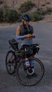
Simone Bailey
We made it to Needles, CA the next afternoon where we met up with Simone Bailey at the Motel 6. Lauren bunked up with Simone, while I slept in the back of the UHaul. But, not before brilliantly locking the keys inside the cab. Argh. Un-needed stress!!!
Simone had bought a bunch of silly, small plastic license plates, expecting everyone to wear one for the ride. I rolled my eyes and half heartedly picked “Momma’s Boy”. Over the course of the race, I embraced my namesake, especially once I remembered that Mothers Day was happening soon. Not just soon, but during the event. Well, my event anyways…
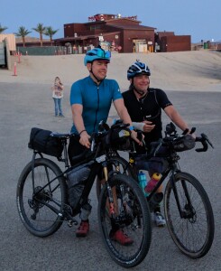
Chris Schmidt and Jay Petervary
The next day (day before the race), I got a locksmith to unlock the van. Met up with Jay Petervary and his racing duo Chris Schmidt. I got some extra bits from Jay that my son got to him. The most important being a smaller chainring for the insane amount of climbing on the route. Well, changing out the chainring led to a broken chainring bolt, and a 45 minute drive to Ace Hardware for a bandage bolt, that would hopefully get me through the race (it did).
I split a room with Dexter Kopus that evening right next door to the ladies room. We partied by eating a bunch of crap, together. I’m the only one who had a couple of beers.

I had never met my new roomy before, and I could tell that the kid had some energy, and was excited to ride. Little did I know then just how much ASS he was about to kick…
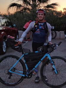
Dexter Kopus
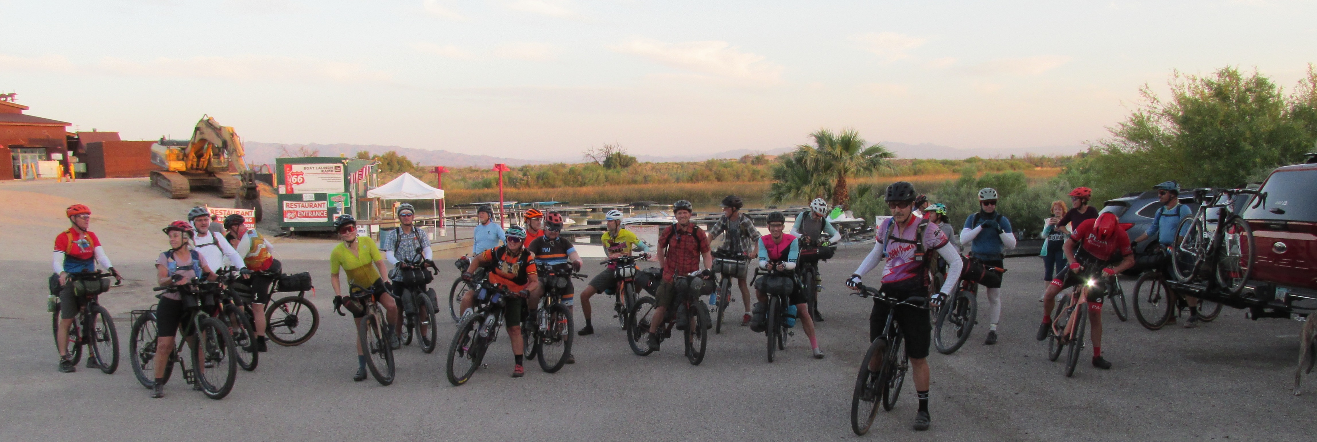
My alarm went off at 4:02am. “Could You Be Loved” was the song the alarm used. Dexter hummed the opening bars for the next 30 minutes! Then, we all stuffed into the UHaul, Dexter in back with the bikes, and we drove it to the drop off in Topock, AZ. 5 miles away from the start.
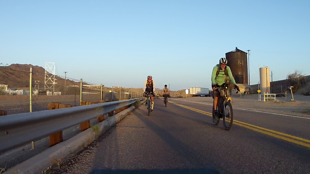
We all rode together, in awe of Lauren’s new lighting, to the start. Rolling in, I gave everybody a nice heartwarming “F YEAH” at 5:30am.

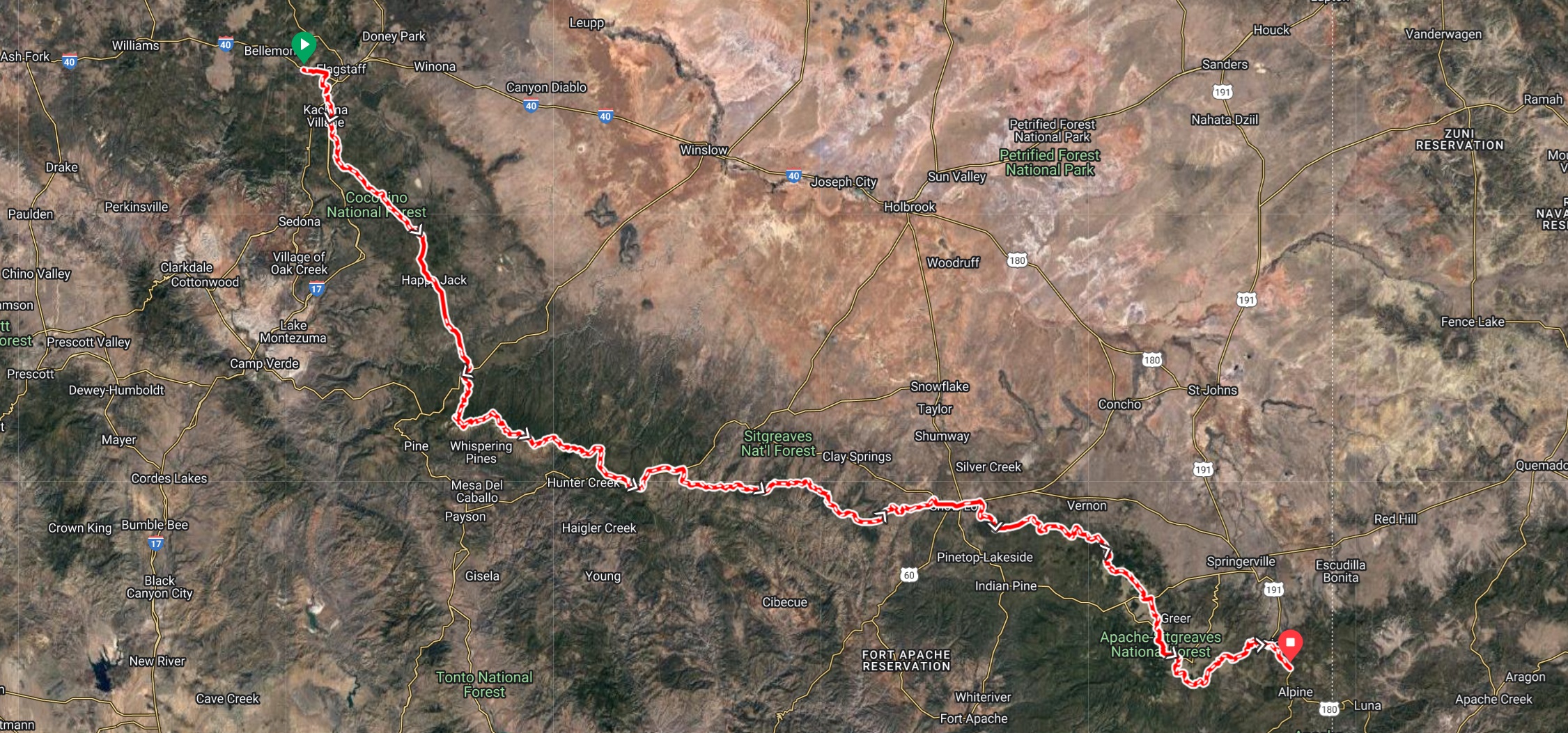
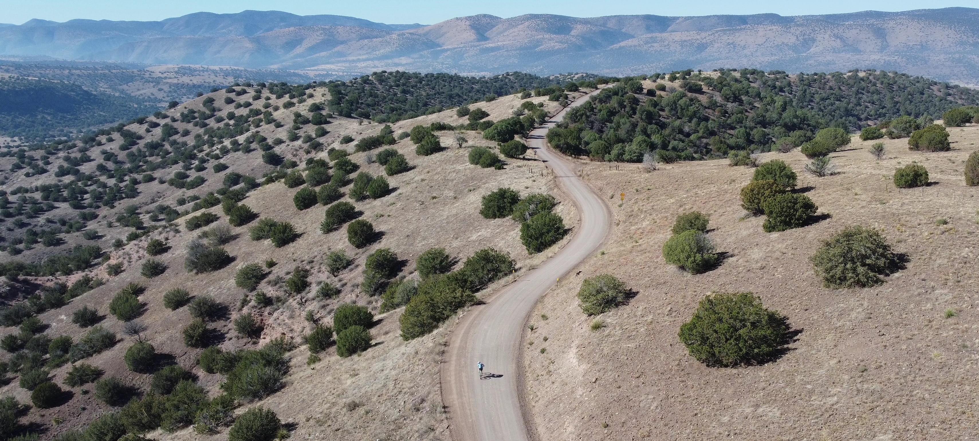
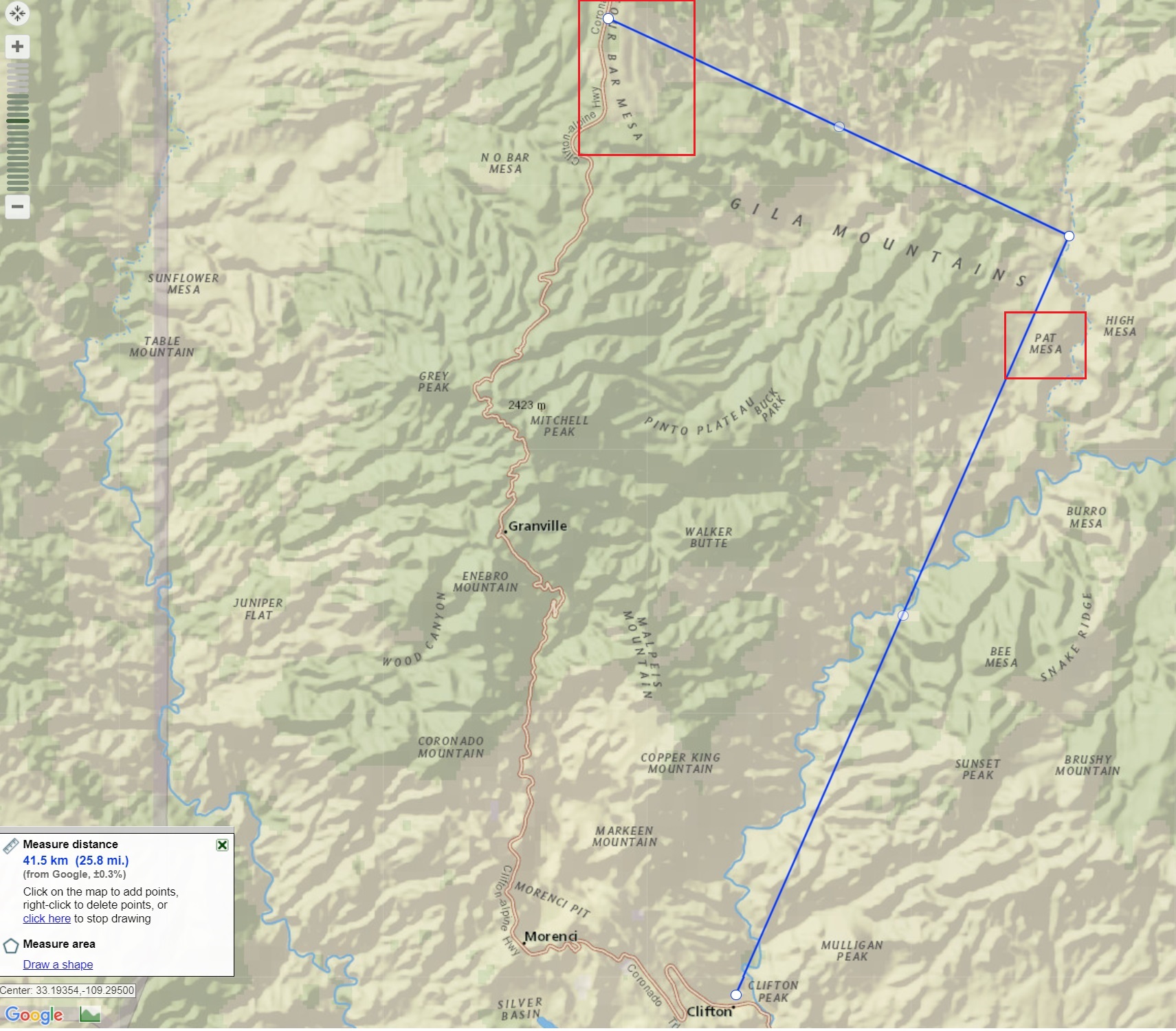
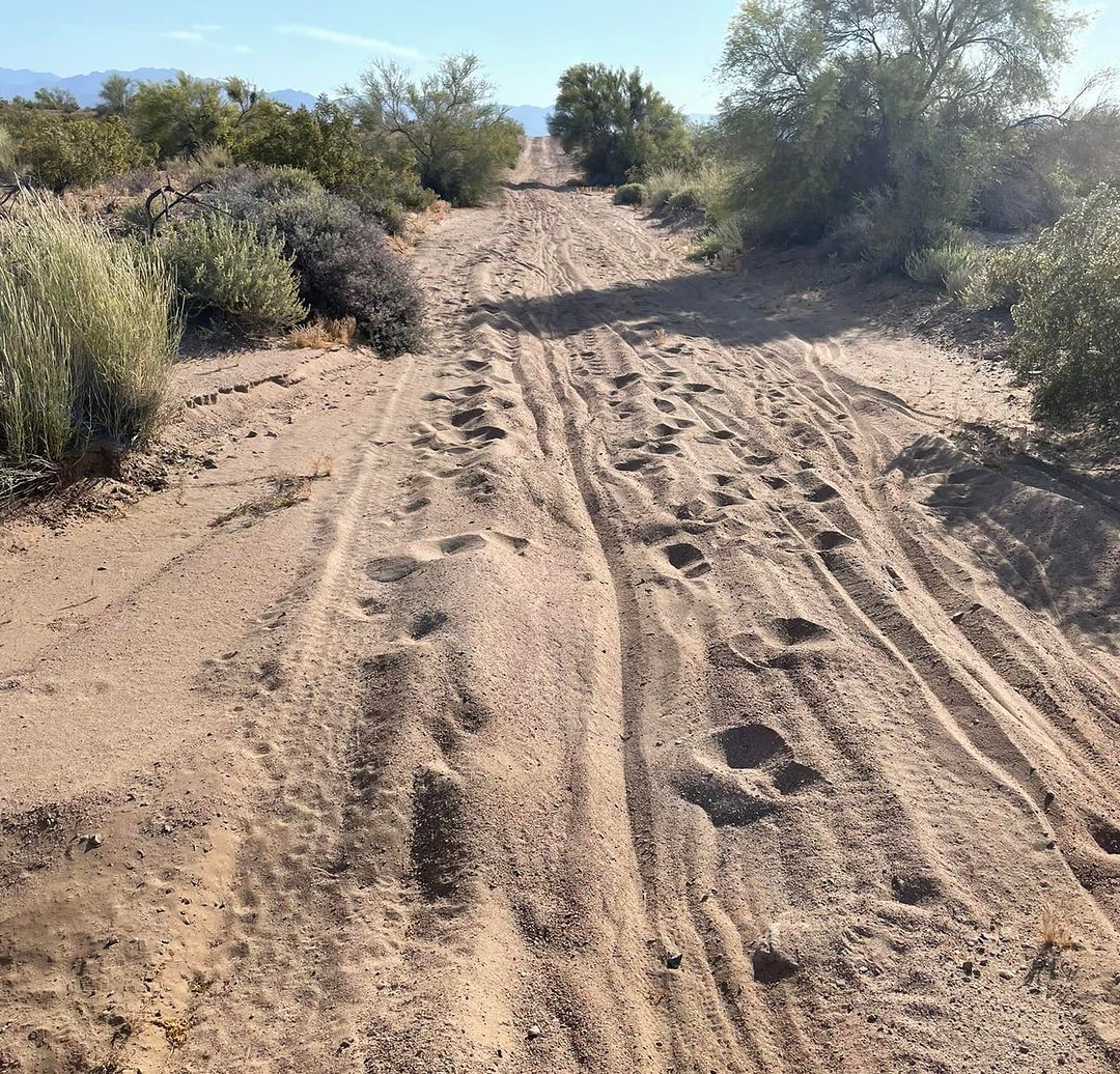
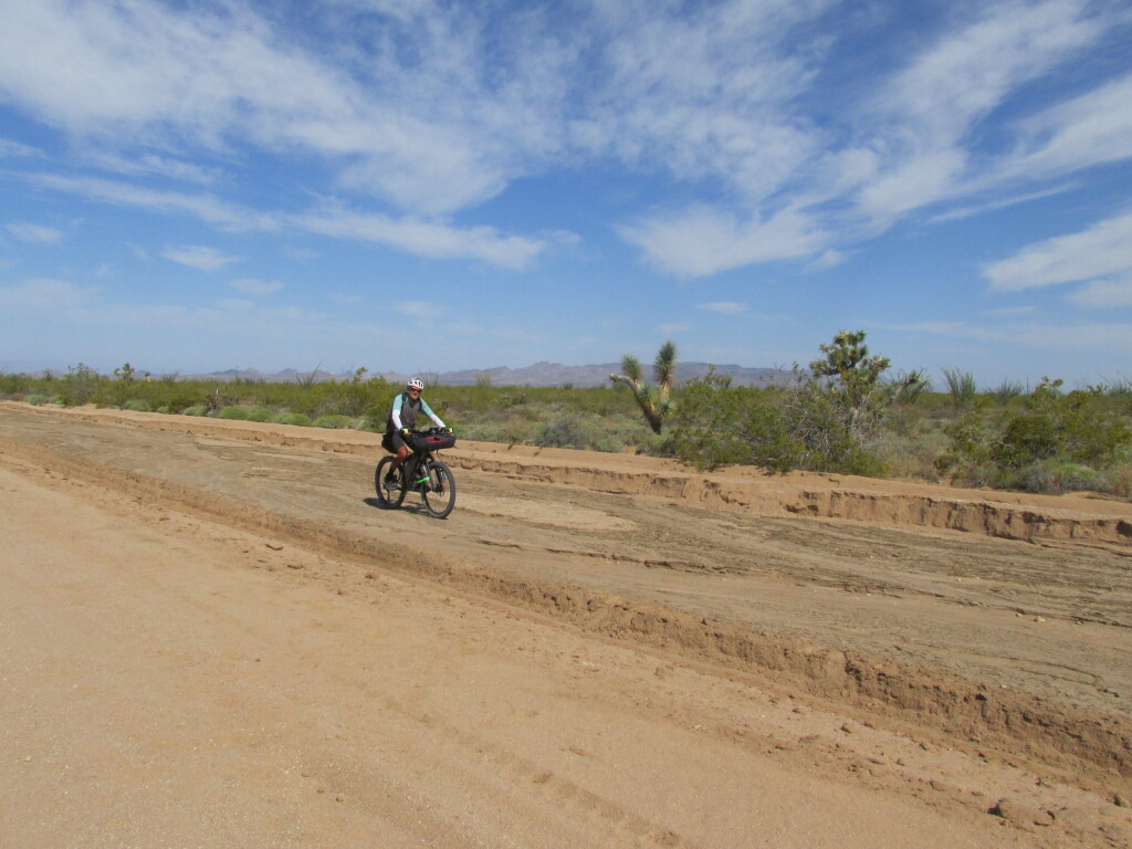
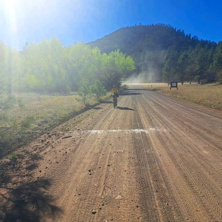
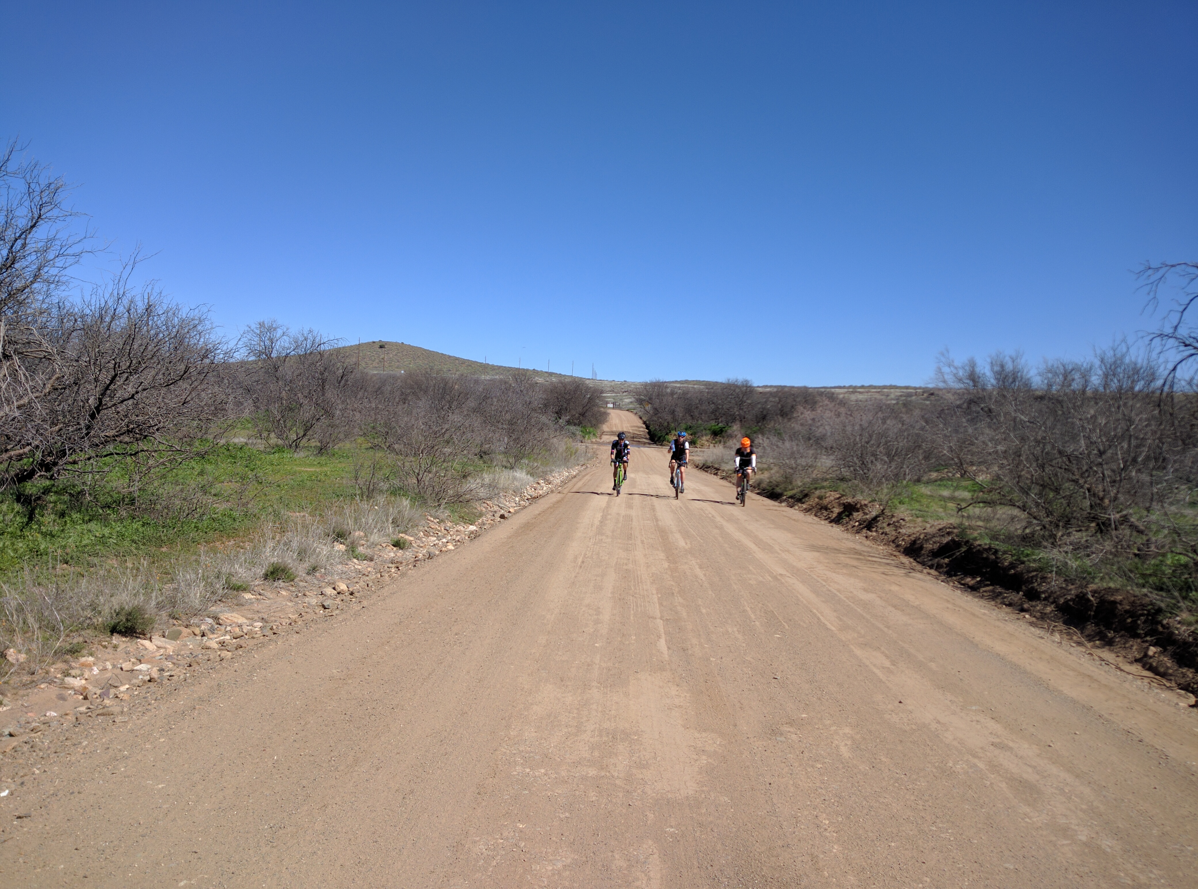
6am start, I knew it was going to be a race to cooler weather. The start elevation was 450’. Arizona Desert. HOTHOT! I led the field out onto the I40, where we spent the first 13 miles climbing up towards the first nasty dirt/sand section. The mining town of Bagdad was 100 miles from the start. I was hoping to get there, restock on food and water, and continue on for as long as possible into the night. Unfortunately, it took me everything, and I mean EVERYTHING, just to arrive in Bagdad. Battling dehydration, extreme cramping, and heat stroke, I crawled into town just 20 minutes before the supermarket was closing. I bought a few things, which I commenced to throw up immediately, and decided I wasn’t moving another inch. I spent the night in the picnic area of the market/post office. About an hour later, the Hansen’s (Jenny and Jason ) arrived and also slept in the picnic area.
I could barely eat or drink anything that night, and I was very nervous about the next 100 mile day. I thought for sure it would be a day full of cramping, figuring out how I could quit. I left several hours after the Hansen’s. A huge climb up out of Bagdad, and amazingly, I wasn’t cramping. Not feeling like king of the world, but I wasn’t as bad as I thought I would be.
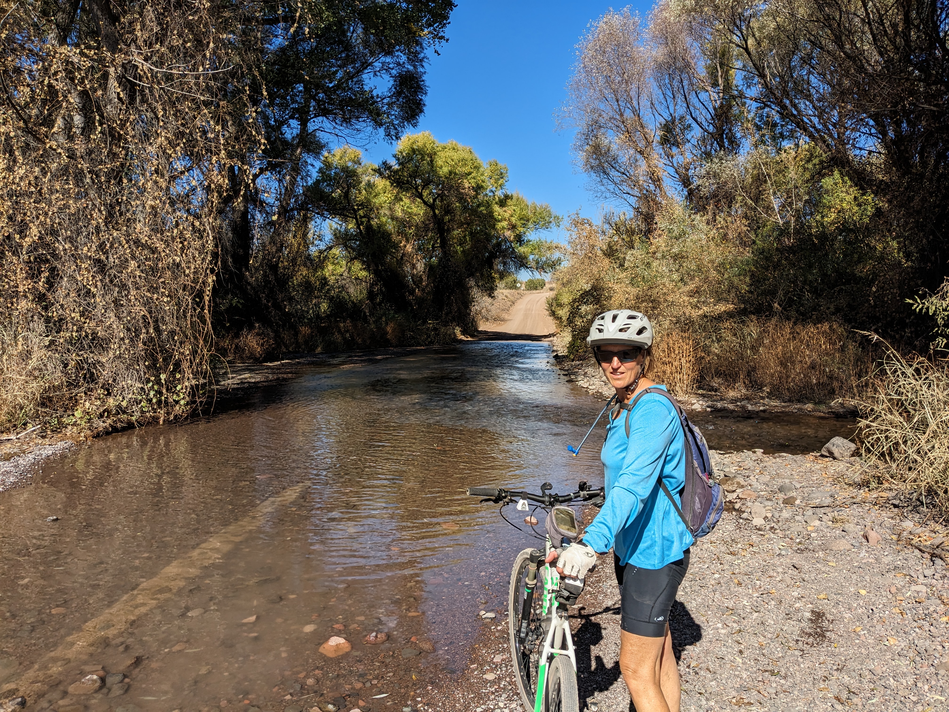
I stopped in the shade several times throughout the day. But, the heat, and limited water, made for a very hard century to the next town, Seligman. Luckily, Minnie, who was acting as neutral trail magic, filled all my bottles with ice, and I grabbed a coke and banana from her. I puked that up too.

, but I still felt fine.
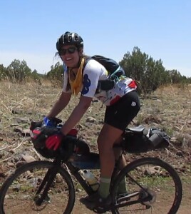
Kayla Hall
As the evening temps dropped, I put the hammer down, and caught up to the Hansen’s as I arrived at the KOA where I was able to shower, do laundry, and eat.
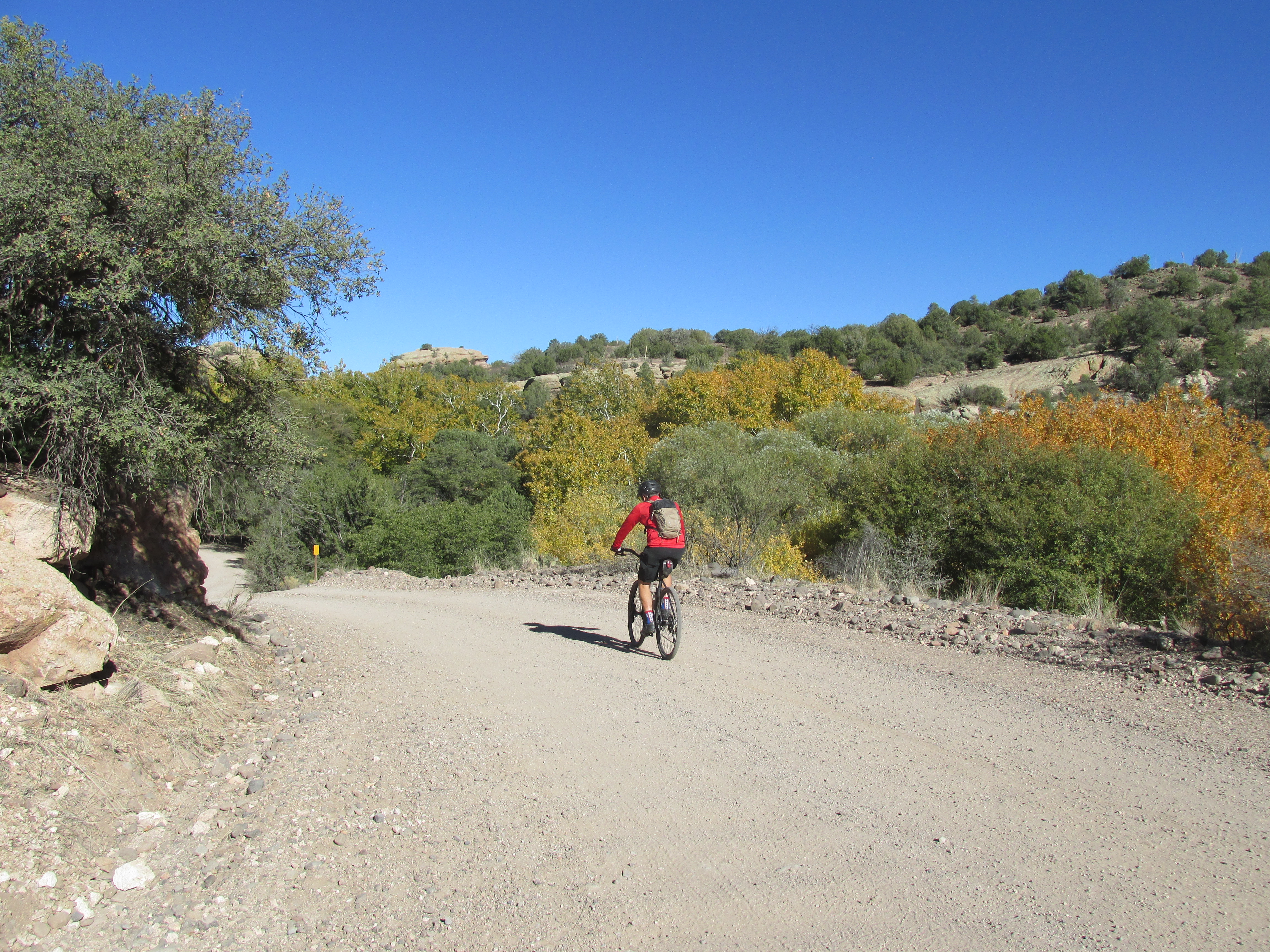
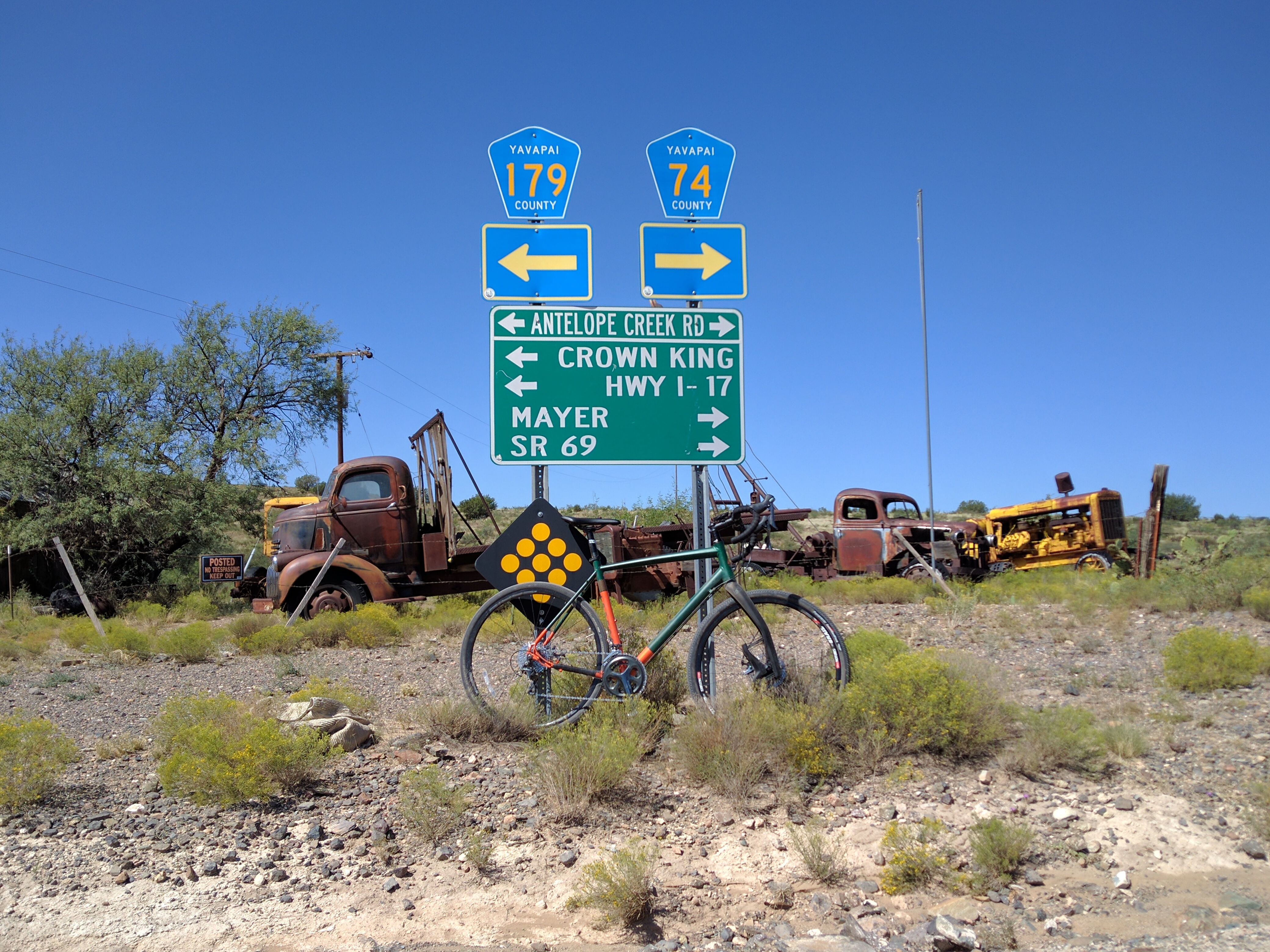
The next day, I made it short and only rode 64 miles to Williams, where I decided to get a hotel room. That was nice! Day 4 had me riding 35 miles into Flagstaff. Kayla Hall caught up with me, and we rode together for a while, and then we all regrouped with the Hansen’s at the Circle K for a nice lunch and resupply. Then we kinda all rode together, but not really, until Kayla decided to stop early. A bit too early, imho, and it ended up biting her. The Hansen’s and I rode well into the dark, putting 40-50 miles on Kayla. Not a big deal, except that the next day, the resupply was far away, and the store closed at 5:00. The Hansen’s and I all made it to the store on time. Barely. Kayla didn’t. Kayla dropped out.
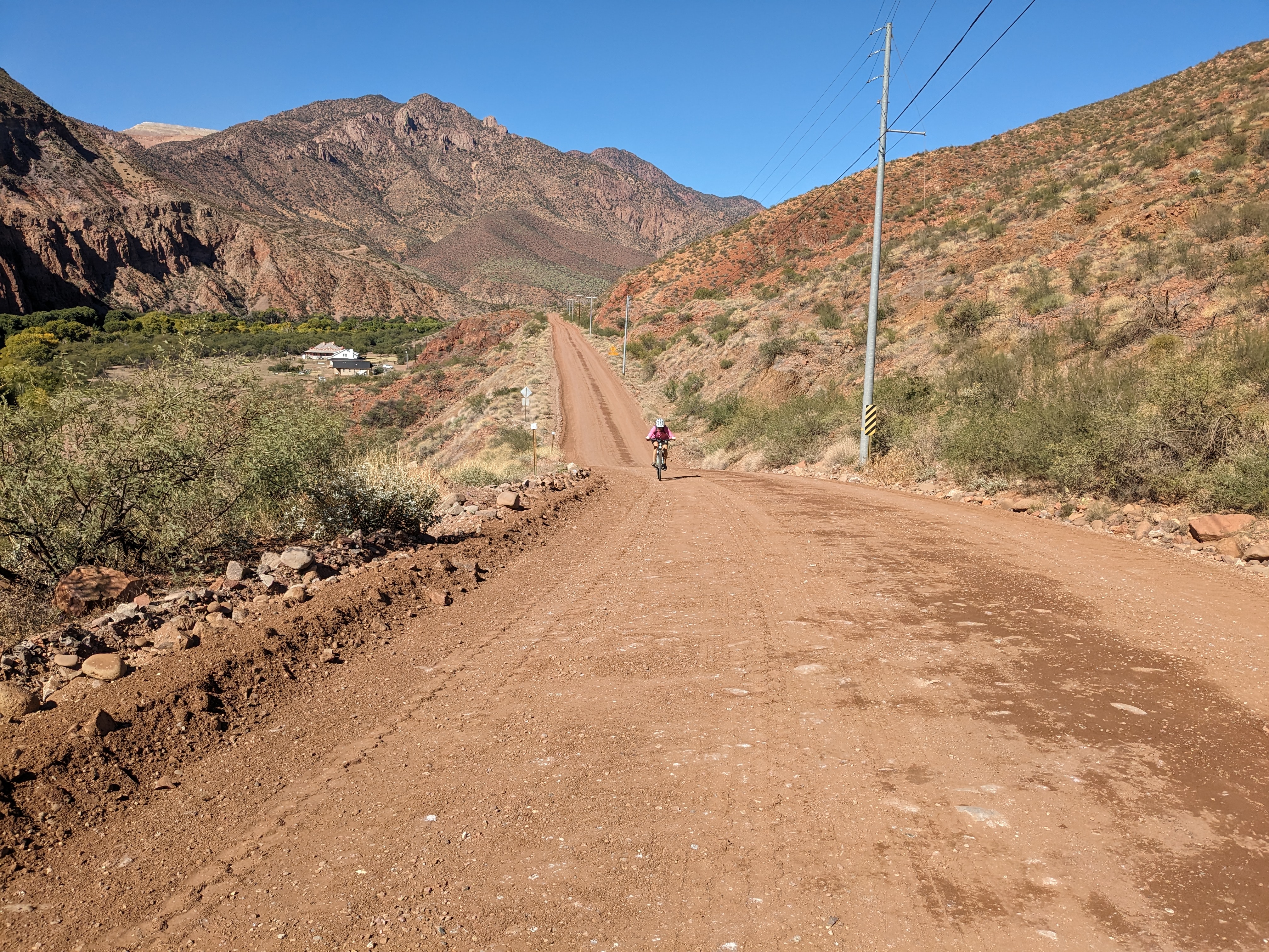
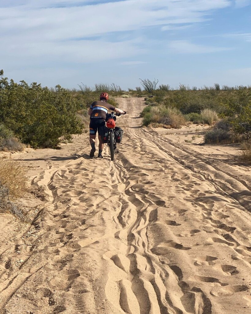
Getting to the store on time was HARD!!! Loose gravel. Friday afternoon campers coming in. Hot. Dry. Etc. After our resupply, the Hansen’s and I had some interesting exchange of ideas on when and where we should stop. I capitalized on our mutual indecision and put the hammer down. I rode well into the dark, thinking I could possibly make it to Show Low, and I probably could’ve, but decided to stop for the night 17 miles out. I think I put 30-40 miles on them that night.
In the morning, I rolled into Show Low, ate a TON of food, restocked my bike, and left before seeing the Hansen’s, thinking (hoping) I may never see them again.
After Show Low, the winds really started to pick up, and our route had us climbing up to +/- 9500’ and staying up there for a while. I made it up and over the first high alpine bit in the nuking winds, and decided that getting a hotel room 3 miles off route would be way better than attempting to sleep outside in the crazy wind.
After a very gentlemanly evening with food, drink, and a bed, I got going around 5:30am. Unfortunately, I checked me headset, which had developed a funny squeak over the past few days, and found it to be oddly loose. So, I tightened it, but things weren’t feeling right. I put it on the ignore, since all I had to do for the next few hours was to climb over 3500’!!! Which I did, but then I couldn’t get the feeling out of me, that there was more going on with my bike than a loose headset. As I delved further into the investigation, I discovered that the steerer tube was separating from my fork. I couldn’t ignore it any longer. With a HUGE and incredibly steep descent laying ahead, I couldn’t feel safe. So, with only 50 miles to go from the finish, I made the very hard decision to abandon the race and work to get a ride to my truck.
With a Garmin message sent to my special friend @Anna, halfway around the world and a day ahead, she arranged to have me picked up by a David via talking to Craig and Minnie (the organizers). Although I was incredibly bummed to drop out, I feel like I took on and overcame more or less all of the challenges that come on a course as hard as this one. I’m happy with my effort, but I’ve obviously left the door open to come back next year and do it again.
F YEAH!!!
My rescue brought me to David’s awesome ranch, for beer, food, shower, etc, where Chris Schmidt had been hanging since his awesome finish. There, the Hansen’s daughter, Shelby, picked me up and drove me to the finish, where we got to watch Jenny and Jason Hansen finish as the first mixed Duo. I spent the night alone at the finish line contemplating my interesting and HARD week.
@rideacrossarizona…
I’ll be back!!!
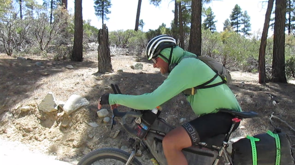
Click the photo for video of Brian after the climb out of Bagdad.
Recent Comments