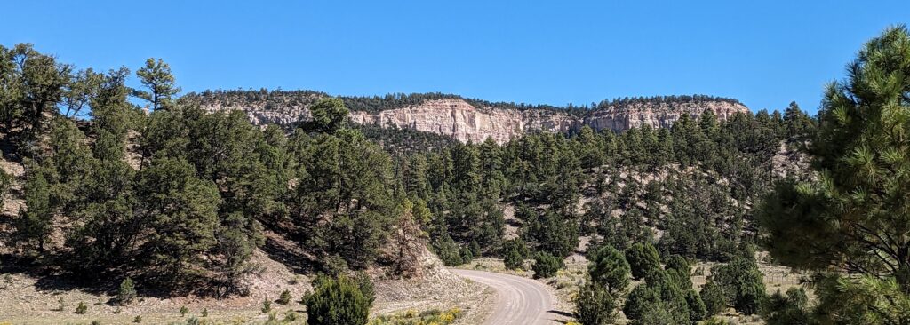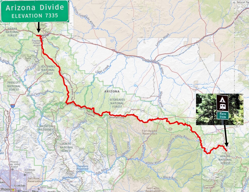
The Ride the Arizona Divide is a 386 mile loop that explores the various sections of the 270 mile Arizona Divide. The Arizona Divide determines where Arizona’s rivers, streams, and creeks flow. Extending from just west of Flagstaff along I-40 it meanders east across the state following the Mogollon Rim for 325 miles ending near Alpine Arizona.
The rivers and creeks on the north of the divide (Chevelon Creek, Clear Creek, Little Colorado River and the Puerco River) flow into the upper Colorado River while the rivers and creeks (Black River, San Francisco River and the Blue River) south of the divide flow into the Gila River before it joins the lower Colorado near Yuma. The total flow of water from these systems more than offset the 36% allotment we receive from the Colorado River Compact!
The Ride the Arizona Divide visits many historic towns along the way including Heber, Show Low, Greer, Alpine and Springerville. The course itself is 84% dirt and gravel roads. Completely passable with a 2wd vehicle.
Route GPS: https://ridewithgps.com/routes/48813184
Finishers
2023 (444 miles)
Paul Kuzdas non supported 3d07h01m
Brian Berry non supported 3d17h55m
Mike Enfield supported 5d08h26m
2024 (425 miles)
Paul Kuzdas non supported 2d14h46m
Brian Berry non supported 2d20h33m
Team AZ Gravel supported duo 3d08h33m
Mike Miller non supported 4d04h57m
The Ride the Arizona Divide route relies on the support, advice and encouragement from a variety of companies that help us maintain this route and provide resources to help plan this adventure for others to enjoy. We encourage you to support the companies that choose to give back to the community by supporting this adventure!
Supporting sponsors:
Redshift Sports
McDowell Mountain Cycles
