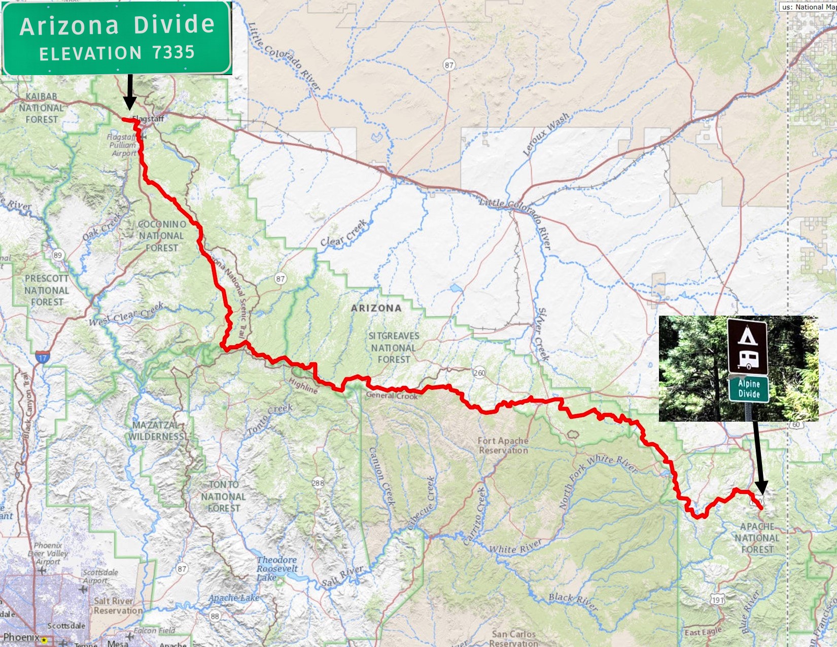
The Arizona Divide Trail (aka: ADT) stretches 270 miles from the Arizona Divide sign at mile marker 190 on I-40 (west of Flagstaff) to the Alpine Divide sign at mile 422 on the legendary U.S. Highway 191 ( AKA “Devils Highway”). The route is over 75% dirt and has nearly 30K of elevation gain. The course was designed for bicycles but is open to all vehicles except for a short section near Flagstaff and Forest Lakes that can easily be bypassed using paved roads. In fact, excluding those two sections, the entire course can be driven with a high clearance two wheel drive!
The rivers and creeks on the north of the divide (Chevelon Creek, Clear Creek, Little Colorado River and the Puerco River) flow into the upper Colorado River while the rivers and creeks (Black River, San Francisco River and the Blue River) south of the divide flow into the Gila River before it joins the lower Colorado near Yuma. The total flow of water from these systems more than offset the 36% allotment we receive from the Colorado River Compact!
Current GPS: https://ridewithgps.com/routes/45066202
For those that want a record of their time Trackleaders will offer a signup for their services. The link will be posted here. For a list of categories they support visit https://azgravelrides.com/universally-accepted-rider-etiquette/
FINISHERS
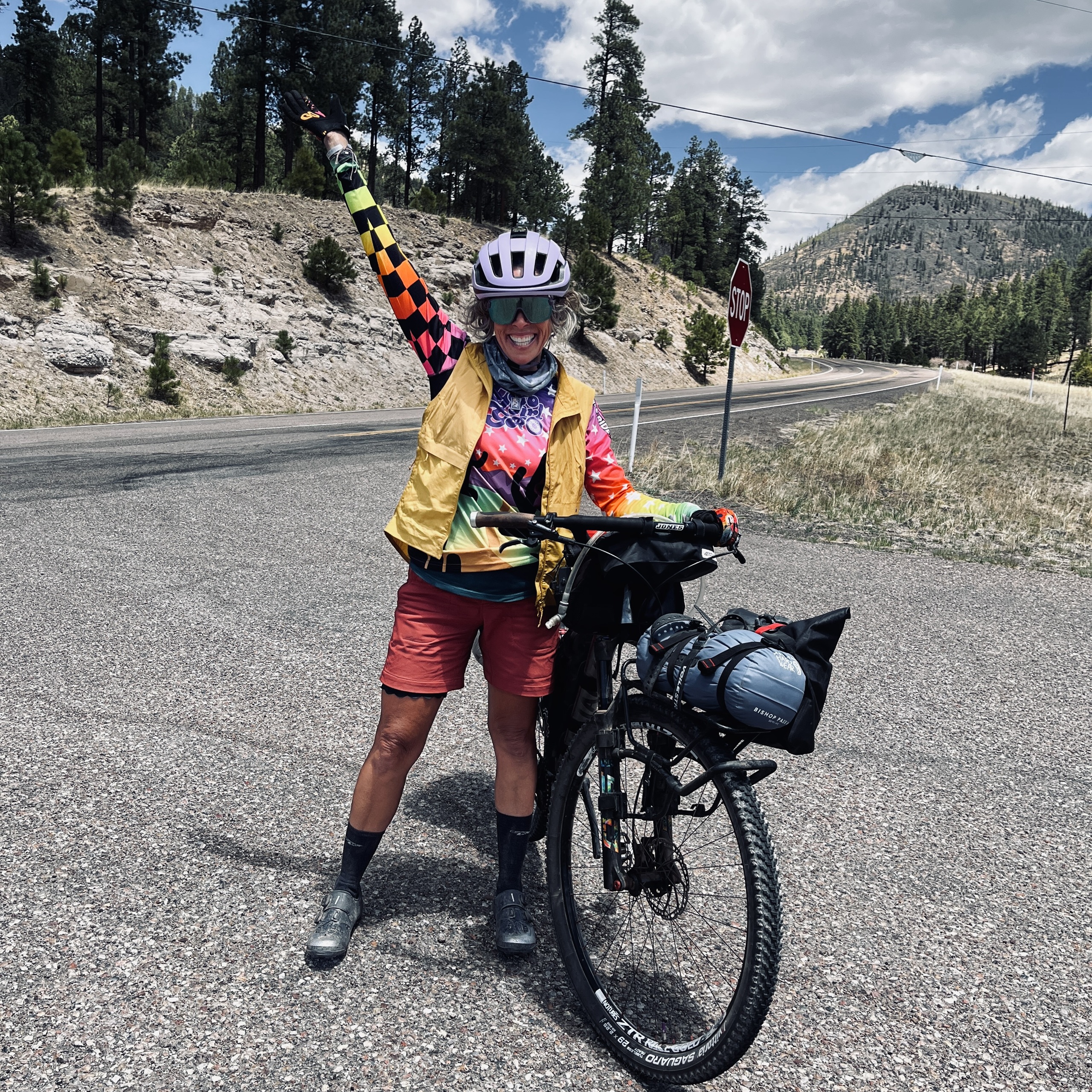
Jody Marie Bartz, Women Singlespeed Non-supported Solo, 4d05h30m
SUPPORTING PARTNERS
The Arizona Divide Offroad Trail route relies on the support, advice and encouragement from a variety of companies that help us maintain this route and provide resources to help plan this adventure for others to enjoy. We encourage you to support the companies that choose to give back to the community by supporting this adventure!