CURRENT FULL COURSE GPX: https://ridewithgps.com/routes/49118917
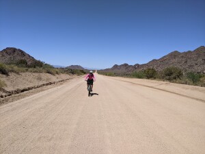
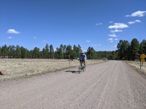
Start to Bagdad
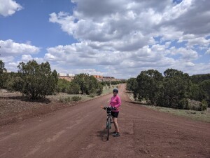
Bagdad – Seligman
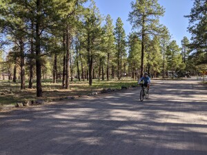
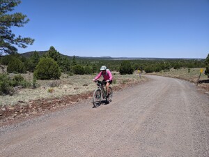
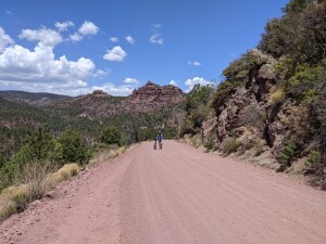
Seligman – Flagstaff
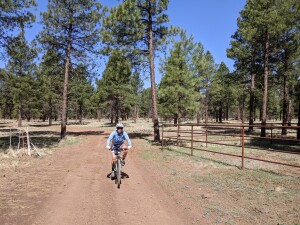
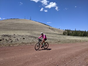
Flagstaff – Forest Lakes
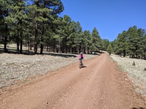
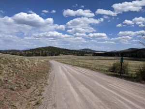
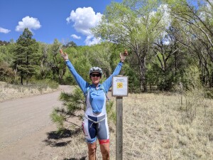
Forest Lakes – Big Lake
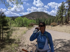
Big Lake – Finish
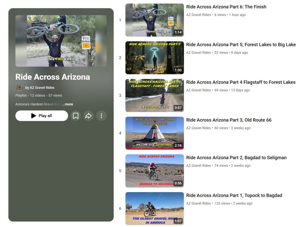
Click to view individual videos of the six sections of RAAZ.
If you have family or friends dropping you off at Topock for the start of Ride Across Arizona and meeting you at the finish near Alpine consider turning their drive into an adventure also by following the paved sections of Route 66.
All updates for the route will be posted here and here only! If you have anything you would like to share (water sources, camp spots, etc.) please forward them on to us at RIDINGAZGRAVEL@GMAIL.COM and we’ll get them shared here.
- For those that want a record of their time Trackleaders will offer a signup for their services. The link will be posted here.
THE RIDE:
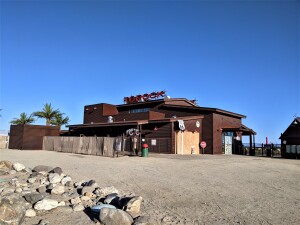
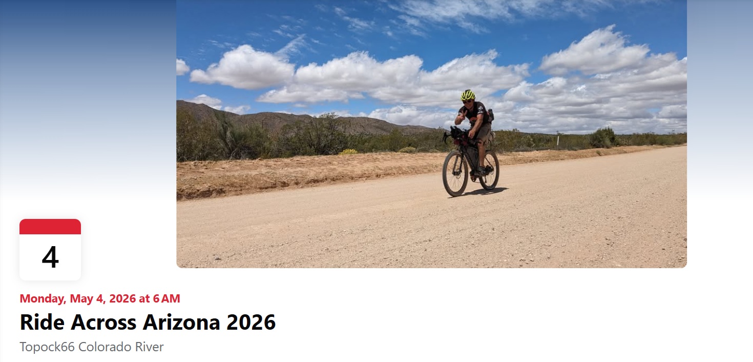
For those interested a group of individuals will be riding the 616 mile Ride Across Arizona starting May 4th. The ride requires no entry fee or formal registration (no start lists or waiting lists). The route uses public roads, anyone can join in. There are no fees, awards or prizes. This is not an organized or sanctioned event in any way. Each rider is responsible for their navigation and well being. For those that want to start at the same time (Grand Depart), meet in the Topock Route 66 parking lot at the Arizona side of the Colorado River near the community of Topock at 6:00AM on May 4th. There is NO PARKING at the Topock Route 66 Bar, this is just a convenient meeting place for the start located directly on the river.
If you want your finish time recorded on our website you’ll need to use Trackleaders. This is strictly voluntary, I just don’t have the time to interact with each rider and then verify and record each time. More info can be found on their website: http://trackleaders.com/ They are not affiliated with AZ Gravel Rides or Ride Across Arizona. You can sign up for their tracking service starting March 31st 2026. The sign up link for Trackleaders will be posted here and at azgravelrides.com.
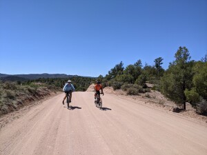
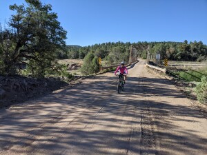
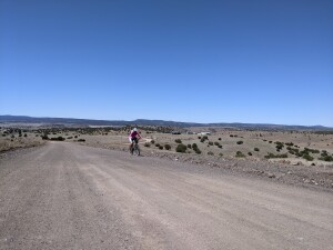
We view RAAZ as a long, hard unofficial ultra endurance cycling challenge that tests our perseverance, self sufficiency and competence. It’s also a fantastic workout! The idea behind the Grand Depart type of start is to be able to have a like minded group of individuals on the route at the same time to boost camaraderie and safety. However, be advised, this is not a “group” ride. You will be on your own most of the time but might be lucky enough to encounter another rider here and there. It’s that simple. Ride as far as you feel like and above all try to remain positive and have fun. The scenery is stunning and the length of the ride becomes an adventure.
Popular ways to ride RAAZ
Self-Supported Bikepacking (solo or duo)
Supported (solo or team)
E-bike (solo or team)
Click here for accepted definitions of each mode from other similar rides.
Important Notes and Updates for RAAZ
UPDATED FOR 2026!
If you’re not into camping there is easy access to hotels along the route in Seligman, Williams, Flag, Heber, Show Low/Pinetop, and the finish in Alpine.
No parking at the Topock Route 66 Bar, this is just a convenient meeting place for the start located directly on the river. Ride to the start. We leave at 6AM!
Permitted Optional Deviations:
– Nothing Bypass (RAAZ mile 90): eliminates 9 miles of pavement (https://ridewithgps.com/routes/45820704) (updated 03/24/24)
If you are doing the Ride Across Arizona as a supported rider please note your SAG vehicle may need to detour around these sections:
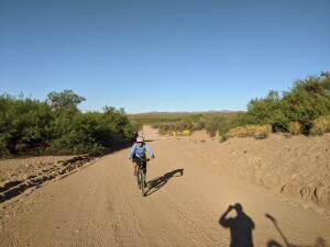
– Mile 14 to 20 – a couple of sandy sections (longest maybe 1/4 mile, the rest are very short), need 4WD.
– Mile 115 to mile 128 – rocky and some washed out sections, 4WD recommended
– Mile 290 to 298- 4WD recommended
– Mile 493 to mile 500 – Maverick Motorized Off-Road Trail, 4WD recommended
– Mile 426.5 to 429.5 – Bikes and hikers only trail, added to avoid busy Hwy 260 through Forest Lakes.
Also, there’s a water spigot to the left as you enter Bashas.
Rim Resort General Store: (https://rimresort.com/ for current hours)
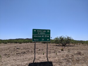
Strategic places along the route:
Mile 54.7: (stock tank water)
Mile 83.5: Water at cattle watering station
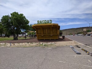
Mile 115: Bagdad – Bashas and Circle K (no lodging)
Mile 123.5: Water trough (right side)
Mile 208: Seligman, KOA campground on route (all services)
Mile 270: Town of Williams (all services)
Mile 277: Dogtown Campground
Mile 313: gas station near airport, slightly off route.
Mile 315: Circle K slightly off route to north
Mile 359: Happy Jack Ranger Station (spigot)
Mile 378.5: Ranger Station (spigot)
Mile 385: Cross Clear Creek in Barbershop Canyon
Mile 419: Wood Canyon Lake Store out route to north
Mile 431: Forest Lakes General Store
Mile 490: Show Low (all services)
Mile 548: Big detour north to town of Greer
Mile 553: Winn Campground
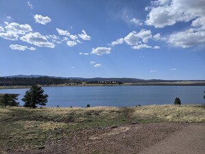
Mile 566 Big Lake Campgrounds and Store
Mile 576.5: Buffalo X-Crossing Campground and Black River
Mile 608.5: Blue River crossing