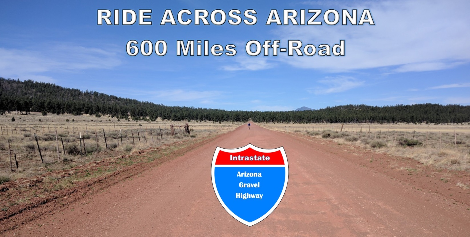
GPS: RAAZ Section 1_Topock – Bagdad
Description: The 112 mile first section of the 600 mile Ride Across Arizona, riding west to east, starts in Topock AZ on the Colorado River. This section winds through a variety of interesting geological scenery combined with a unique transition from the Mojave Desert to the Sonoran Desert on it’s way to the mining town of Bagdad. Plenty of places to restock in Bagdad including a Bashas grocery store and a bar. This is the only section of the entire route that passes through the desert. After Bagdad it’s on to the high plains and mountains!
GPS: RAAZ Section 2_Bagdad – Seligman
Description: The 92 mile second section of the Ride Across Arizona is from Bagdad to Seligman. This section starts as a steady climb out of Bagdad (Elevation 4000 feet) until it crests in the pines of the Prescott National Forest before descending back down to 4700 feet and the junction with Williamson Valley Road. Taking Williamson Valley Road north it’s a 50 mile slightly uphill grind into Seligman, usually with a tailwind. There are numerous hotels and restaurants in Seligman and the local KOA is located right on the course.
GPS: RAAZ Section 3_Seligman – Flagstaff
Description: The 107 mile third section of the Ride Across Arizona is from Seligman to Flagstaff. This section starts in Seligman and after a brief section on the paved original Route 66 you hit the dirt following sections of the Beale Wagon Road and the National Old Trails Road. Even though it’s near very popular areas of the state for recreation (Grand Canyon, Williams area and Flag) it remains off the beaten path. Hardly any motorized vehicle traffic, it just feels very remote. It’s rich in history including being the site of an ancient trading route (over a thousand years old) that moved goods between the Great Plains and the Pacific Ocean. Side trips can be taken to the Johnson Tunnel and abandoned sections of Route 66 where traces of the yellow lines and other markings can still be seen. The route eventually connects once again with the Ocean to Ocean Highway, also known as the National Old Trails Road, which will take you into Williams. The route also travels along the Transcon rail line. Once in Williams you’ll find a Safeway store along with numerous hotels, restaurants and breweries. There are several USFS campgrounds in the area including Dogtown Lake Campground which is located on the route.
GPS: RAAZ Section 4_Flagstaff – Forest Lakes
Description: The 115 mile fourth section of the Ride Across Arizona starts in Flagstaff and at Forest Lakes. The route passes through south Flagstaff where there are a number of places to re-supply. After passing through Flag the route meanders along Upper and Lower Lake Mary and Mormon Lake. You’ll travel south on Lake Mary Road for 50 miles before jumping off on FS 211. From this point on you’ll be on dirt and gravel roads until the last three miles before crossing Highway 260.
GPS: RAAZ Section 5_Forest Lakes – Vernon
Description: The 101 mile fifth section of the Ride Across Arizona travels from Forest Lakes along the Rim Road to Show Low and then on to the Maverick Trail before connecting with a series of dirt and paved roads into Vernon. After Vernon you’ll enter the National Forest with numerous places to camp. There are also many places to stay and resupply in the Show Low / Pinetop area.
GPS: RAAZ Section 6_Show Low – Alpine
Description: The 110 mile sixth and final section of the 600 mile Ride Across Arizona goes from Show Low to Alpine on the New Mexico border. IMO, by far the most scenic section of the entire route. The finish is at the New Mexico border just past the remote outpost of Blue Arizona. Remember there are no stores in Blue. There is a well stocked country store at Big Lake. That is the only place along this route to resupply unless you want to go three miles off course into Greer. There are several hotels, a general store and a bar in Alpine. The Luna Lake Campground is an awesome place to wind down after the ride!
INDUSTRY SPONSORS
The Ride Across Arizona route relies on the support, advice and encouragement from a variety of bicycle industry companies that help us maintain this route and provide resources to help plan this adventure for others to enjoy. We encourage you to support the companies that choose to give back to the community by supporting this adventure!
![]()

![]()