If you like the content of this page or the free routes featured on this website and want to say thanks you can buy me a coffee!
https://www.buymeacoffee.com/azgravel
Trackleaders Registration: https://form.jotform.com/trackleaders/raaz24
MOST CURRENT GPX: https://ridewithgps.com/routes/45220274
Individual Sections (approximately every 100 miles) (updated 04/25/24)
Section 1: https://ridewithgps.com/routes/45758467
Section 2: https://ridewithgps.com/routes/45759009
Section 3: https://ridewithgps.com/routes/45759034
Section 4: https://ridewithgps.com/routes/45759048
Section 5: https://ridewithgps.com/routes/45759135
Section 6: https://ridewithgps.com/routes/45759427
**See “Important Notes and Updates for RAAZ” section below. Mile designations have been updated for 2024. If changes happen because of road closures they will be noted there.
All updates for the route will be posted here and here only! If you have anything you would like to share (water sources, camp spots, etc.) please forward them on to us at RIDINGAZGRAVEL@GMAIL.COM and we’ll get them shared here.
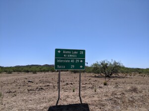
Strategic places along the route (updated 04/09/24):
Mile 52: (stock tank water)
Mile 80.6: Water at cattle watering station
Mile 85: Camping, water, restrooms, off route to north
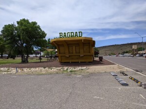
Mile 112: Bagdad – Bashas and Circle K (no lodging)
Mile 205: Seligman, KOA campground on route (all services)
Mile 267.5: Town of Williams (all services)
Mile 274: Dogtown Campground
Mile 310: gas station near airport, slightly off route.
Mile 312: Circle K slightly off route to north
Mile 356: Happy Jack Ranger Station (spigot)
Mile 375.5: Ranger Station (spigot)
Mile 382: Cross Clear Creek in Barbershop Canyon
Mile 417: Wood Canyon Lake Marina out route to north
Mile 428: Forest Lakes General Store
Mile 486: Show Low (all services)
Mile 513.6: Vernon Town Park (spigot)
Mile 543: Big detour north to town of Greer
Mile 548: Winn Campground
Mile 560.5 Big Lake Campgrounds and Store
Mile 575.5: Raccoon Campground
Mile 578.3: Diamond Rock Campground
Mile 609.5: Blue River crossing
- It has been confirmed that campgrounds listed have water spigots.
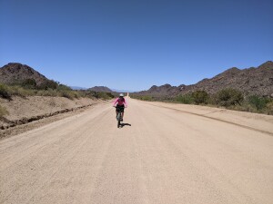
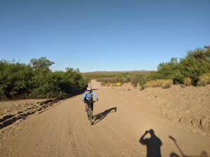
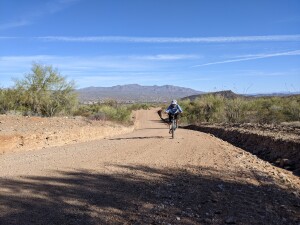
THE RIDE:
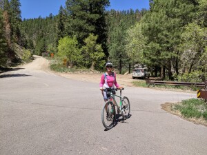
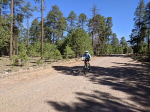
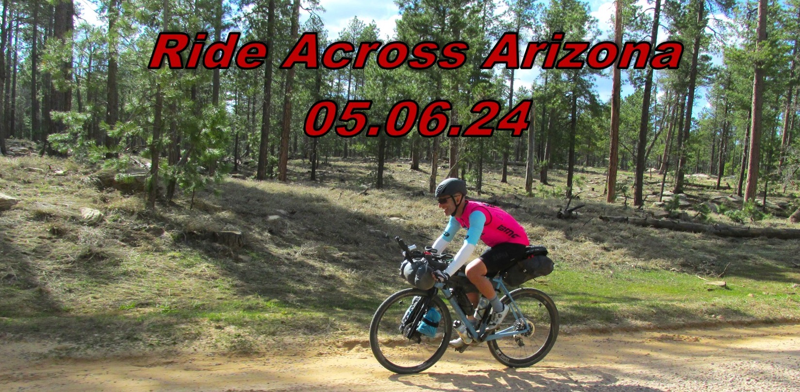
For those interested a group of individuals will be riding 600 mile Ride Across Arizona starting May 6th. The ride requires no entry fee or formal registration (no start lists or waiting lists). The route uses public roads, anyone can join in. They will be following the current route posted on this page. There are no fees, awards or prizes. This is not an organized or sanctioned event in any way. Each rider is responsible for their navigation and well being. For those that want to start at the same time (Grand Depart), meet in the Topock Route 66 parking lot at the Arizona side of the Colorado River near the community of Topock at 6:00AM on May 6th. There is NO PARKING at the Topock Route 66 Bar, this is just a convenient meeting place for the start located directly on the river.
If you own a tracking device (e.g., SPOT, Garmin InReach) and would like friends and relatives to view your progress or have a record of your ride you can register your device with the Trackleaders service. More info can be found on their website: http://trackleaders.com/ They are not affiliated with AZ Gravel Rides or Ride Across Arizona.
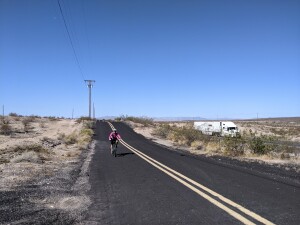
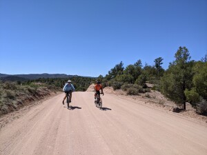
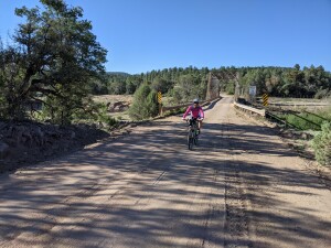
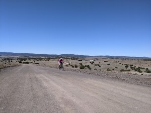
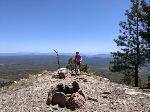
We view RAAZ as a long, hard unofficial ultra endurance cycling challenge that tests our perseverance, self sufficiency and competence. It’s also a fantastic workout! The idea behind the Grand Depart type of start is to be able to have a like minded group of individuals on the route at the same time to boost camaraderie and safety. However, be advised, this is not a “group” ride. You will be on your own most of the time but might be lucky enough to encounter another rider here and there. It’s that simple. Ride as far as you feel like and above all try to remain positive and have fun. The scenery is stunning and the length of the ride becomes an adventure.
Universally Accepted Rider Etiquette:
General:
– Aerobars and their accessories are allowed
– LEAVE NO TRACE. If you carry it in, carry it out. The goal is to keep the area we are rolling through better than we found it.
– Follow all traffic laws. You must use lights when riding at night on any public road.
– Unless you can actually see another rider coming behind you, always close a gate you open
– No trespassing. Please respect private property.
Popular ways to ride the RAAZ course and accepted definitions from other similar rides:
Self-Supported Bikepacking (example: Tour Divide)
Solo:
– No support crews or caches of any kind.
– No motorized transport along the route.
– Unplanned support from a fellow rider is allowed.
– Gas stations, restaurants, hotels, campgrounds, and any other commercial services along the route are fair game as long as they are not pre-arranged.
– If your bike breaks and you wish to continue the ride, you must hike, walk or crawl to the next town to get it repaired. Once fixed, you must return, under your own power, to the exact spot you left the route. This is a completely self-powered ride. If you get in a motorized vehicle, your ride is over (you may switch to the supported category**).
– For the purpose of this ride a bicycle is defined as a vehicle consisting of a frame mounted on two wheels one behind the other, and having a seat, handlebars for steering, two hand-operated brakes, and propelled solely by the rider via two pedals connected to the rear wheel by a chain or belt.
– Complete the entire route under your own power.
– You may ride with other people, but drafting is not allowed.
Duo Riders (same as above except):
– You and your partner may share resources.
– You and your partner should stay together for the duration of the ride.
– Drafting off your partner is allowed.
Supported (example: RAAM)
Solo:
– Support vehicles allowed to follow along and provide assistance (high clearance vehicle recommended).*
– Any number of bicycles or replacement parts may be used during the ride.
– If a rider makes a wrong turn and rides off the event route, regardless of the reason, the rider must return (either riding or support vehicle) to the exact spot where the course deviation was made, then continue riding.
– No hand offs or mechanical support from a moving vehicle.
– For the purpose of this example a bicycle is defined as a vehicle consisting of a frame mounted on two wheels one behind the other, and having a seat, handlebars for steering, two hand-operated brakes, and propelled via two pedals connected to the rear wheel by a chain or belt.
Relay Team (same guidance as for supported riders except):
– Riders share and exchange a single tracking device.
– Riders determine when to exchange.
– Riders can ride at the same time sharing pulls and drafting, you decide what is best for your team.
Duo Team (think Cape Epic! Same guidance as for supported riders except):
– Riders each carry a tracking device.
– You and your partner may share resources including support vehicle.
– You and your partner should stay together for the duration of the ride.
– Drafting off your partner is allowed.
Important Notes and Updates for RAAZ
UPDATED FOR 2024 !
If you’re not into camping there is easy access to hotels along the route in Seligman, Williams, Flag, Heber, Show Low/Pinetop, and the finish in Alpine.
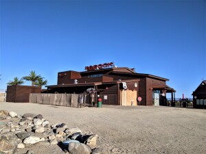
No parking at the Topock Route 66 Bar, this is just a convenient meeting place for the start located directly on the river. Ride to the start. We leave at 6AM!
– Required detour has been added for the Buffalo Crossing Bridge closure at mile 571.5 (updated 12/2/2023)
Permitted Optional Deviations:
– Nothing Bypass (RAAZ mile 90): eliminates 9 miles of pavement (https://ridewithgps.com/routes/45820704) (updated 03/24/24)
If you are doing the Ride Across Arizona as a supported rider please note your SAG vehicle may need to detour around these sections:
– Mile 14 to 20 – a couple of sandy sections (longest maybe 1/4 mile, the rest are very short), need 4WD.
– Mile 115 to mile 128 – rocky and some washed out sections, 4WD recommended
– Mile 290 to 298- 4WD recommended
– Mile 490 to mile 497 – Maverick Motorized Off-Road Trail, 4WD recommended
– Mile 424 to 426 – Bikes and hikers only trail, added to avoid busy Hwy 260 through Forest Lakes.
Also, there’s a water spigot to the left as you enter Bashas.
Rim Resort General Store: (https://rimresort.com/ for current hours)Show Low ( Mile 486): Everything you’ll need right along the course. Cycle Mania is a full service bike shop too! Just .2 of a mile south on the 260. Direct quote from Mike Godwin of Cycle Mania Bikes in Show Low: “Let everyone know if they need any assistance, bring it in and I’ll put aside whatever I can to take care of them. No charge for the service and basic parts and greatly discounted any major parts.”Vernon (Mile 514): There is a small park that has a water spigot.
Greer (Mile 543): 3.2 miles off course with lodging, restaurants and convenient store
West Fork Little Colorado River (Mile 547): river crossing, water available using filter
Big Lake Store (Mile 560): General store hours are 7am to 5pm daily
East Fork Black River (Mile 572 -578): several campgrounds with drinking water.