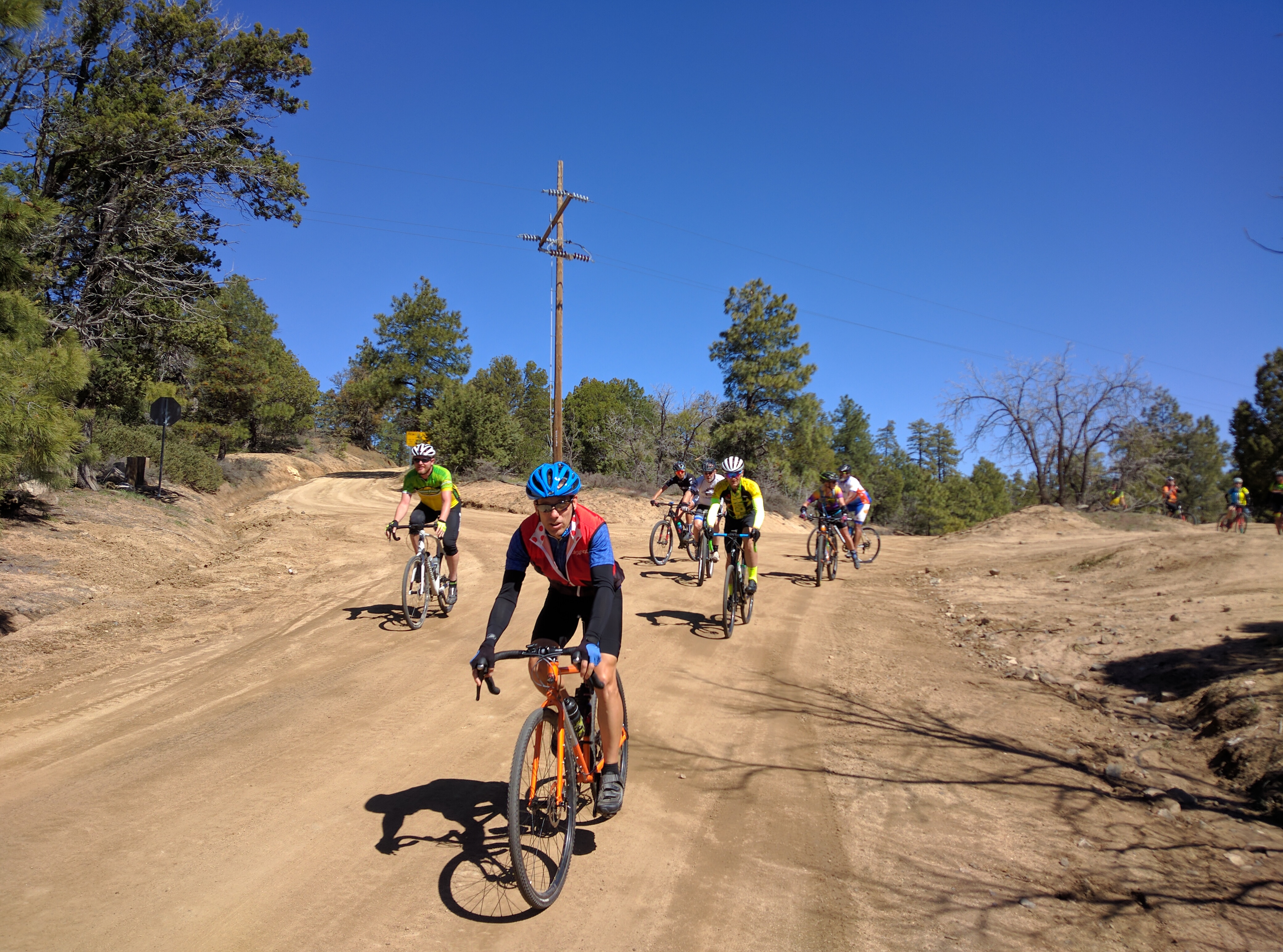
 The 330 mile Yavapai Backcountry Loop was developed and mapped by the folks from AZ Gravel Rides. The route is made up of non-technical dirt, gravel and forest service roads with only 17% of the route being pavement. The course is designed to allow high clearance vehicles to follow for support. Plan on a two to four day adventure, best ride time is March through November. Most of the course (nearly 300 miles) lies within Yavapai County of central Arizona. Yavapai County was one of the four original Arizona counties created by the 1st Arizona Territorial Legislature in 1864. The county is named after the Yavapai people who first settled in the area around 1100 AD. The route passes through three mountain ranges; the Bradshaw Mountains, the Santa Maria Mountains and the Black Hills (includes Mingus Mountain). Sections of the course utilize several historical trails and routes including the Overland Road (oldest continuously used road in the United States), Beale Wagon Road, National Old Trails Road, Route 66 and the Senator Highway. Sections of the route are also used by several cycling events including the Chino Grinder, Whiskey Off Road and Bradshaw Grinder. The northern section follows along the 615 mile Ride Across Arizona off road bicycle route.
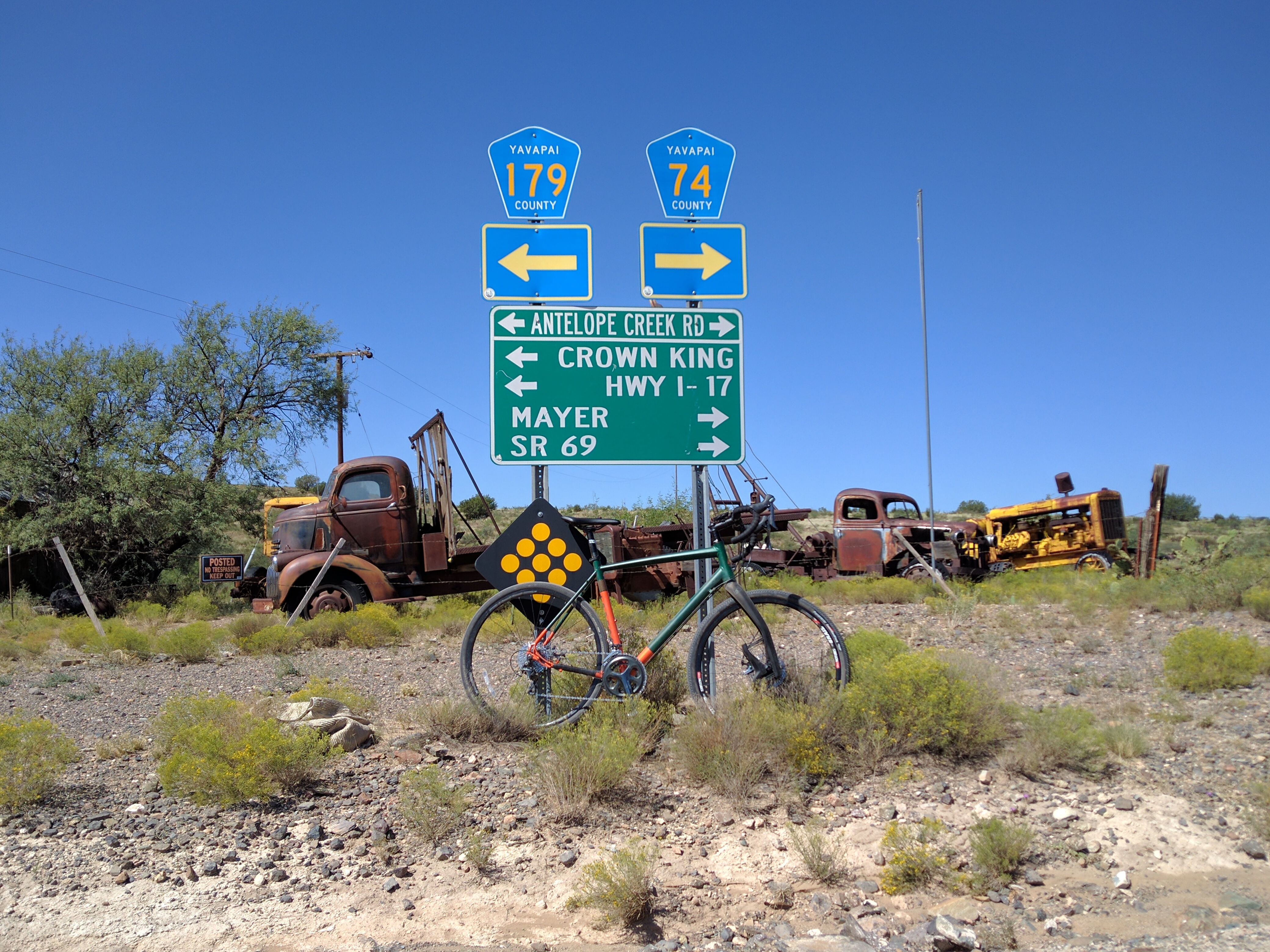
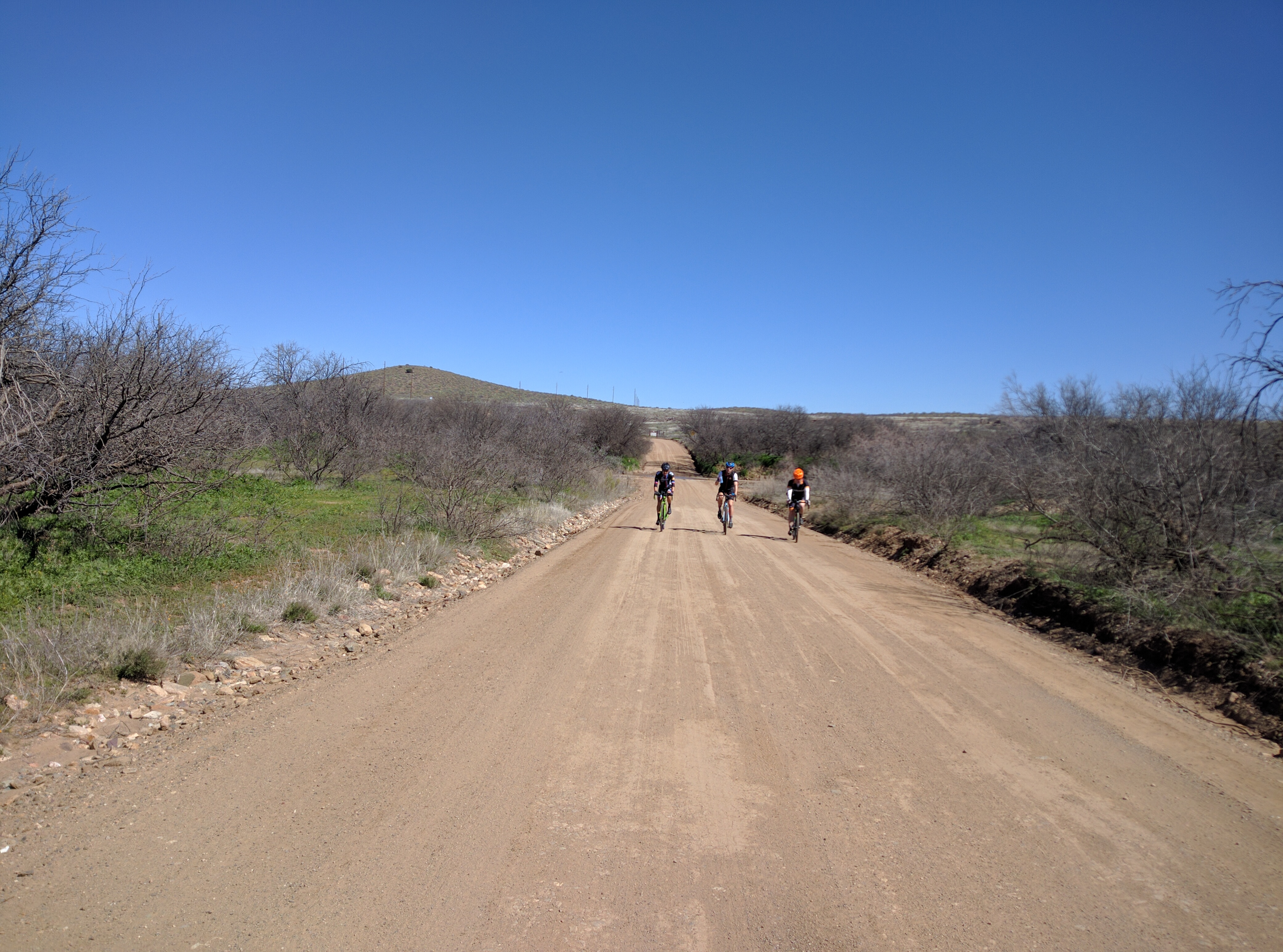 The suggested starting point of Prescott Arizona is a hub for mountain biking and gravel riding. From Prescott you’ll start out on Copper Basin Road to Skull Valley (Mile 17). There is a store in Skull Valley but it’s kind of hit or miss on being open. After Skull Valley it’s on to Seligman (Mile 100). This section contains mostly high plains mixed in is a 20 mile ride through the pine forests of the Santa Maria Mountains. The town of of Seligman is on I-40 so there are plenty of places to restock and numerous hotels plus a KOA. After Seligman the next place to stock up is Ash Fork (Mile 150). From mile 72 to mile 142 you are following the same route used by the Ride Across Arizona where you’ll travel on sections of the National Old Trails Road, Route 66 and the Beale Wagon Trail Road. Make sure to stock up in Ash Fork! From there you’ll ride 60 hard miles to Jerome. The climb from the Verde River to Jerome is brutal! If you have a filter take advantage of the Verde before you start on the climb. Jerome has a number of places to eat and a convenient store. If you’re looking for a motel Clarkdale is a fast 4 miles away (not so fast getting back to Jerome, it’s all uphill). After Jerome it’s up and over Mingus Mountain of the Black Hills with the next supply stop being Spring Valley (Mile 264). The last section is the most difficult. From Spring Valley you’ll head up to the Bradshaw Mountains and the remote outpost of Crown King but not before you drop briefly into the desert near Cleator. From Cleator to Crown King (Mile 289) it’s a tortuous long climb up the old railroad grade into the historic Town of Crown King (a general store and two bars) at the southern end of the Bradshaw Mountains. After leaving Crown King you’ll be on the Senator Highway and pass by the ghost towns of Bradshaw City and Goodwin on the way to the old stage stop of Palace Station. Forty miles after leaving Crown King you’ll be back where you started.
 The route can be done on a gravel or mountain bike. The gravel bike would be best outfitted with a 40mm tire or wider. Several short sections of the Senator Highway are hike-a-bike but maybe not on a mountain bike. Keep in mind that this is Arizona. Road conditions can change quickly, I’ve seen the Senator where a passenger car could drive it and a week later a 4WD would have issues. Be prepared and know the route. there are plenty of places to jump off the route if the going gets to tough. Research the course before you start.