Bikepacking the Arizona Divide Off-Road Trail – Alone and Unsupported

 Arizona Divide Off-Road Trail

Arizona Divide Off-Road Trail

The Challenge: To ride the entire Arizona Divide Off-Road Trail completely self reliant. No phone, gps, tracking device, visitation, outside support, hotels or markets (BLM, AZ State Parks and USFS Campgrounds are okay)

Reason: To encourage and inspire others (especially the elderly) to get out and enjoy the outdoors and realize the many benefits of exercise, especially in combatting dementia, heart disease and age related cognitive decline. Also to better understand exactly which modern conveniences provide the most comfort and support on a solo bikepacking trip.

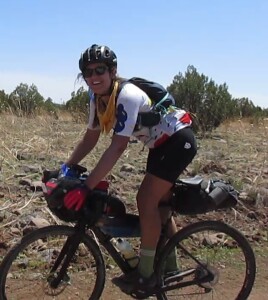
2024 marks the 15th year I’ve been retired and also my 70th birthday. Every year since I’ve retired I have scheduled something

IMG_0719

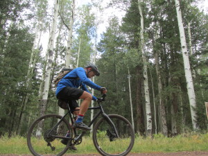
epic as motivation to stay fit and to force me to think outside the box. For my next adventure I’m planning on a solo unsupported bikepacking trip riding the entire 270 mile Arizona Divide Off-road Trail. This will be my first attempt at bikepacking. To challenge myself further I plan on doing it with minimal resources including no electronics (no phone, gps or tracking device) along with the commonly accepted rules of non supported bikepacking (no visitation, no outside support, no film crews, etc) and doing it at minimal cost. Plus I won’t be purchasing anything from stores or paying for lodging while trying to be as self reliant as possible (no need for credit cards or cash). The only electronic device will be my Drift Ghost Action Camera (has no internet access or communication options) to document the ride, with the two batteries it has 15 hours of recording time. Planning on a May/June timeframe and hoping to finish in less than three days. Due to cataracts I can no longer see at night so I will only ride sunup to sundown. This will enable me to keep my normal sleep schedule of seven hours each night.

The Route:

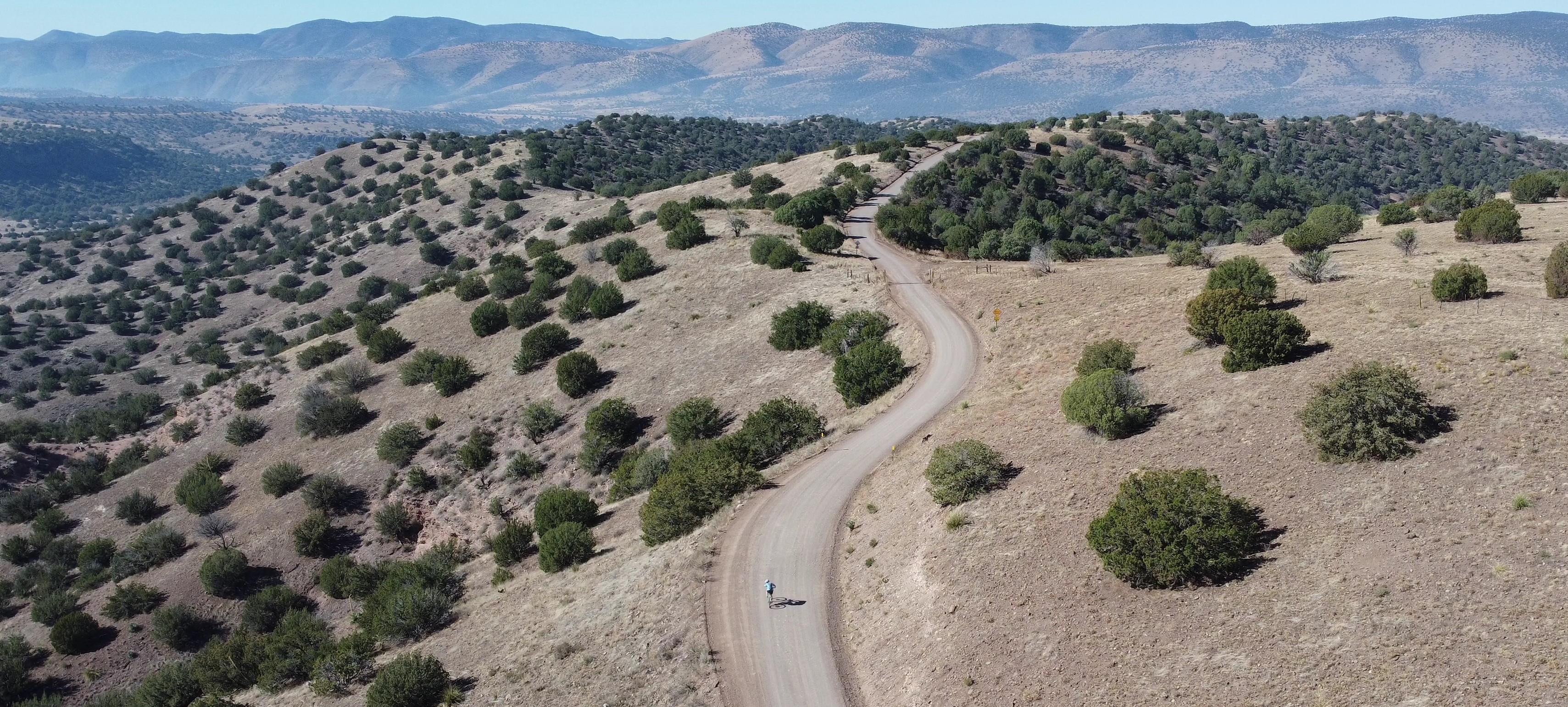
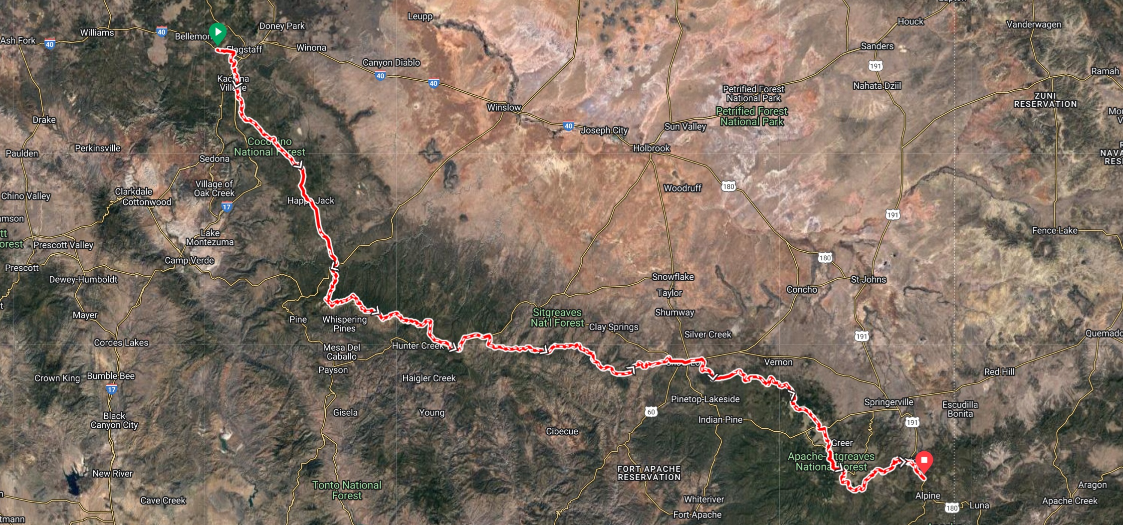
The Arizona Divide Off-Road Trail (developed by AZ Gravel Rides) stretches 270 miles starting from the Soggy Bottom Ranch Road,

PXL_20231127_222050480~2

directly adjacent to the ADOT Arizona Divide sign at mile marker 190 on I-40 (west of Flagstaff), to the ADOT Alpine Divide sign at mile 422 on U.S. Highway 191. The route is over 77% dirt and has nearly 30K of elevation gain. GPX for the route can be found at https://azgravelrides.com/:arizona-divide-offroad-trail/

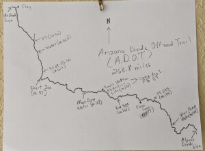
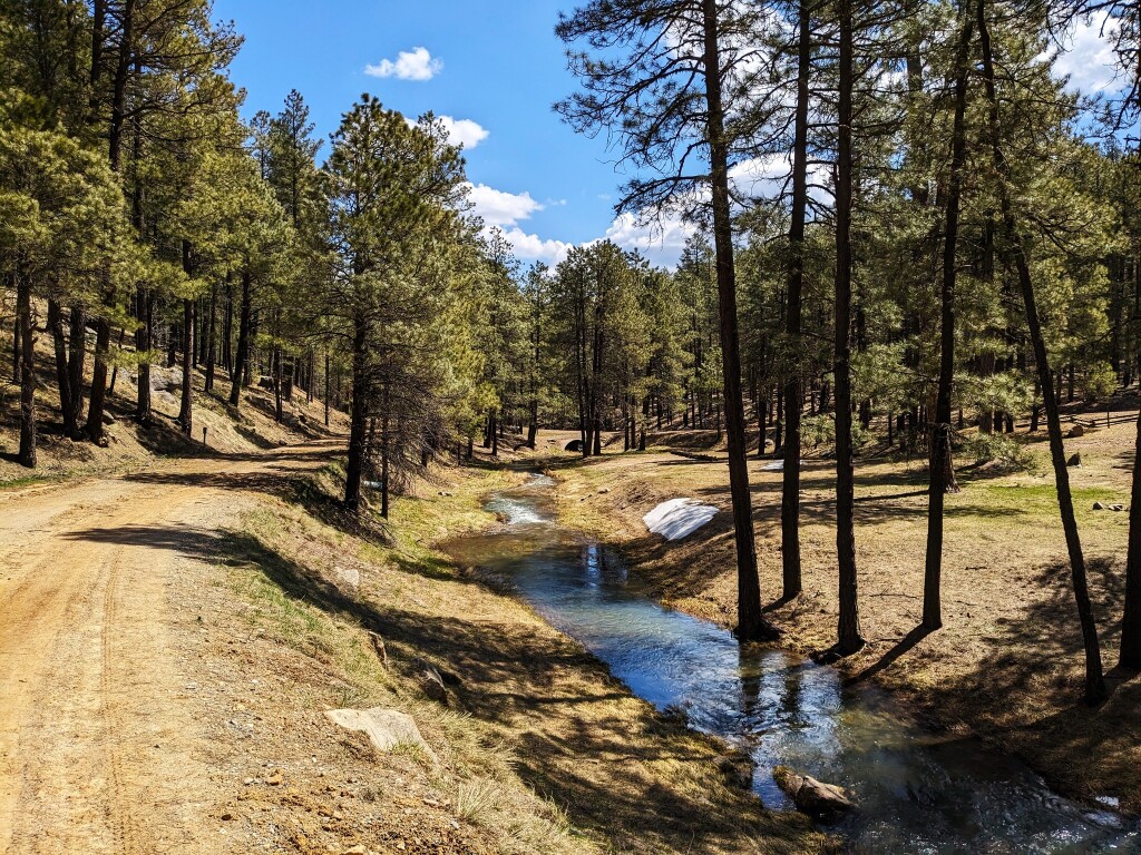
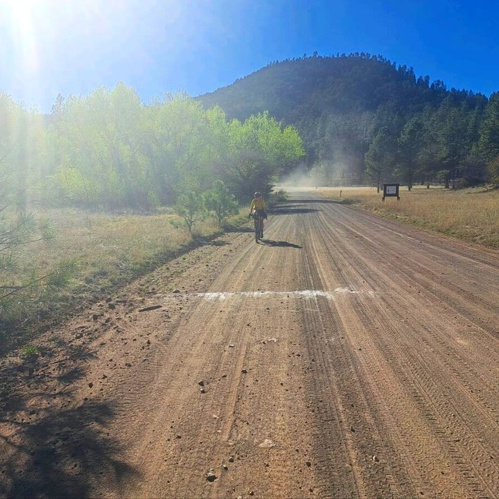
Since I will not have access to any type of electronic tracking device ( gps device, odometer, cell phone etc.) I will need to rely on a hardcopy map. I have drawn one up and included some mileage and reference points to help provide me with an indication of my progress. There are two sections that could be tricky to follow, the first is the section from the start to mile 12. This involves numerous intersections, I don’t want to waste any time or energy overshooting one of the many turns. I have already familiarized myself with that section so no concerns there. After that section it is relatively straightforward, especially the 95 mile section along FS 300, the Rim Road. The other troublesome section is mile 194 on the road to Vernon. I’ve ridden that section a number of times but because I was staring at the gps navigation I never paid much attention. I do know that FS 182 is signed and about a third of a mile past where the road turns from pavement to a brilliant white dirt and then a half mile past that is the turn onto FS 283. This is the start of by far the toughest section of the entire route. A huge climb to mile 220 and Greens Peak. From there to Big Lake and the finish is relatively straight forward.
Coming soon! info on the following subjects.
Bike:
Gear:
Nutrition:
Training:

Support our sponsors!
McDowell Mountain Cycles
Redshift Sports
State Bicycle Company

Posted in bikepacking, cycling, gravel bikes, gravel grinder, gravel racing

Greenlee County Gravel

Snapshot - 1

For those that follow this site or our social media accounts you know our passion for discovering and exploring remote areas to ride in. Our latest adventure took us to the Town of Clifton Arizona located in the southeastern section of the state. We were looking for something remote and we definitely found it in Greenlee County, the least populated county in AZ. After doing some preliminary research of the area we decided on three areas to explore; Upper Eagle Creek, the Lower Blue and the San Francisco River.

Upper Eagle Creek Road (FS 215) GPX

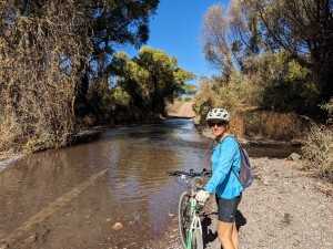
From Clifton we drove 28 miles north on Hwy 191 to the intersection with Upper Eagle Creek Road. There are several parking areas nearPXL_20231106_174014860.MP the start of the ride. The first 10 miles you’ll drop from 6300 feet to 4800 feet in elevation. The remaining 12 miles of the ride is a gradual uphill to the end of the road at Honeymoon campground. During the entire length of the ride I would guess there are about 25 residences. Public utilities do not exist, each ranch is self sustained generating their own electricity and all water comes from wells. There are three water crossings of Eagle Creek, a foot deep at the most. At mile 22.5 we came to Honeymoon Campground and the end of the road for motorized vehicles. East Eagle Trail #33 (open to mountain biking) continues on for 12.6 miles to Hwy 191.  If you decide to give this trail a try the first 6 miles is an old jeep road. There is a cabin, Sawmill Cabin, at 7.5 miles. This cabin is maintained by the grazing permit holder but is open to the public. The entire length of this road is very well maintained with little motorized traffic.

As remote as it is, people have been living in this area since prehistoric times. It’s totally understandable, it is gorgeous!  Geronimo even tried to bargain with General George Crook for an end to hostilities in exchange for this valley. Near mile 11 you’ll start to pass through the area of the double Circle Ranch, at one time the second largest employer in Greenlee county. Between 1900 and 1936 they were running over 30,000 cattle on 37,000 acres. 20 full time cowboys and a herd of over 350 horses kept the ranch running. The ranch even maintained a commissary where many folks living in the Eagle Creek valley would get their supplies. The ranch met its demise when the San Carlos Apache tribe failed to renew  grazing leases on their lands that lay immediately west of the ranch.  Ownership of the old ranch changed so fast over the next few decades that even locals lost track of it. In 1950, the then owners attempted a dude ranch, constructing the current lodge and cowboy bunkhouse, and somewhere along the way a 2,400’ airstrip was bladed in just north of these structures. Not sure of the status of the ranch today. It looks to still be maintained and there is a fairly new sign for the old schoolhouse.

Juan Miller Road (FS 475) GPX

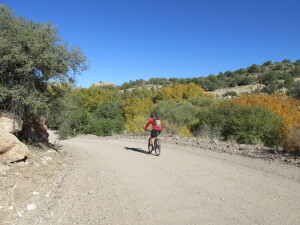
Located just a couple miles north of Upper Eagle Creek Road this road provides access to the lower Blue River Area. We found the entireIMG_0830 13.6 mile stretch of this road in perfect condition. Starting at 6000 feet it’s mostly downhill until you bottom out at the Blue River crossing at 4000 feet. The road continues on to a ranch but we turned around at this point. There are two campgrounds near the start of this ride, Upper Juan Miller and Lower Juan Miller, that are open year round. Near mile 12 is the road back to the abandoned XXX Ranch. Built by one of the first settlers of the area, Fred Fritz, the ranch is now maintained by the Forest Service and is open to the public. In 1899 Fred Fritz was attacked by a grizzly bear in nearby Maple Canyon and barely survived. You can read the story here. His son Fred Fritz Jr went on to become the only person to have served as Senate president and Speaker of the House for the State of Arizona. For an interesting view of life in this area in the early 1900’s you can read a transcript from an interview he did shortly before he passed away in 1981. Link to interview.

San Francisco River Road GPX

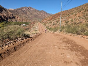
The San Francisco Road was once part of the Blue River Road. Built in the late 1800’s it followed the bed of the Blue River until it PXL_20231107_194751658 connected with the San Francisco River and from there into Clifton. Floods were a constant problem in keeping the road open. In 1916 the Federal government mapped out three potential road sites for a new highway. The existing Blue River Road, a route following Eagle Creek and the divide between the Blue and Eagle drainages. They decided on the divide route, because this route was the sixth link into Route 66 it was assigned a number which would haunt the road, motorists and locals for decades: US 666, the Devil’s Highway (re-designated to its current number, 191,  in 1992). The Blue road continued to be used by local residents. In 1933 the federal government created the Blue Primitive Area which banned motor vehicle travel on the section between Twin Springs Canyon and Maple Canyon even though private ranches and homesteads fell within this area . The county and local residents refused to stop using the Blue River Road and the battle still goes on even today. That’s why it is the last remaining primitive area, all other primitive areas were changed to the Wilderness designation.

Questions about the existence of the Blue River Road remain unresolved to this day.  What is clear is that, whether or not there is a traversable Blue River Road for the length of the river in Greenlee, the County nevertheless claims a right-of-way up the Blue—and that the Forest Service disputes that claim.

Potential re-route of Highway 191

Potential re-route of Highway 191

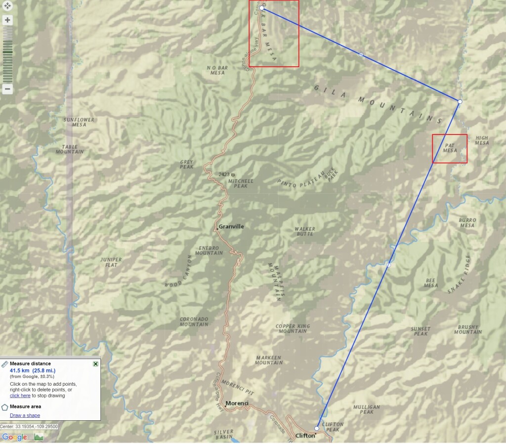
Oddly enough due to the continued expansion of the Morenci Mine Highway 191 may eventually shift back to the Blue River. With preliminary plans for the highway to go up the San Francisco River where it will climb to Pat Mesa and rejoin the current highway at Four Bar Mesa eliminating many of the twists and turns the legendary highway is notorious for.

” Improvements and rerouting will continue and at some future time the winding old Coronado Trail may surrender to the villain named progress.”  USDA FOREST SERVICE SOUTHWESTERN REGION ALBUQUERQUE, N.M.

References:

https://www.eacourier.com/copper_era/news/freddie-fritz-a-legend-who-lived-here/article_650c5648-8dff-11e3-ac04-0019bb2963f4.html

https://hub.arcgis.com/pages/b246fe92b8194905978d3145406a249e

CULTURAL RESOURCES REPORT NO . 26; USDA Forest Service; Southwestern Region
Posted in azgravel, bikepacking, bikes, cycling, gravel bikes Tagged with: , , , , , , ,

Drought Ending Extreme Weather Creates Epic Conditions For The 2023 Ride Across Arizona Riders

blog header

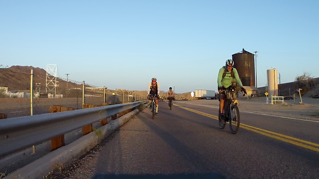
On May 1st twenty-two cyclists gathered at the Topock Route 66 Bar on the Colorado River along the California/Arizona border for the third running of the ultra endurance Ride Across Arizona cycling event. The 600+ mile mostly dirt road route extends across Arizona from the Cali border at Topock to New Mexico near Blue, Arizona. The event attracts a mix of professional athletes and recreational athletes that share a common interest in extreme adventures. There are no entry fees, registrations or awards; only the sense of accomplishment of knowing that you completed one of the most challenging off-road routes to be found anywhere.

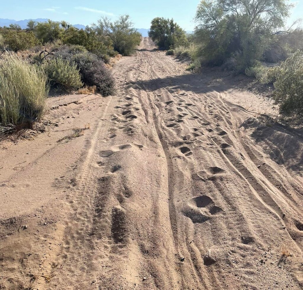
The National Old Trails Road (established 1921) looked like it hadn't been maintained since 1921!

The National Old Trails Road (established 1921) looked like it hadn’t been maintained since 1921!

The route snakes west to east along a cross-section of Arizona defined by spectacular scenery, a variety of landscapes, historic towns and remote wilderness. Riders cycle along the Colorado Plateau, the Mogollon Rim, San Francisco Peaks, White Mountains and Blue Primitive Area, not to mention riding remote sections of the National Old Road Trail and Route 66. There are numerous campgrounds along the way and hotels can be found along the route at Seligman, Williams, Heber, Flagstaff and Show Low. The finish is near the beautiful Town of Alpine.

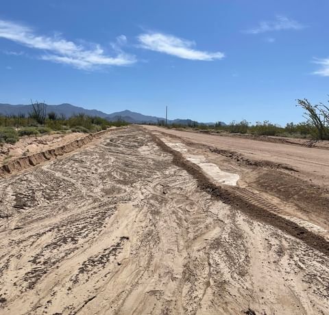
This is what the locals called hardpack. The graded road next to it was soft sand. This stuff was as hard as concrete. No brainer, ride the hardpack.

This is what the locals called hardpack. The graded road next to it was soft sand. This stuff was as hard as concrete. No brainer, ride the hardpack.

IMG_0611

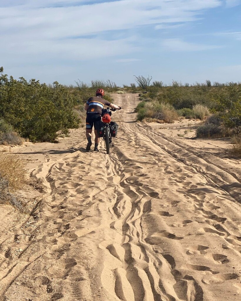
At the start cyclists knew that they would confront trouble even on the first day. Forecasts called for temperatures in the already hot Mojave and Sonoran Deserts to be 10 degrees above normal along with forecasts of headwinds gusting up to 40 mph! Further into the course, along the Mogollon Rim and White Mountains, abnormally low temperatures were forecast along with high winds. There was also the threat of lingering snow left over from Arizona’s most severe winter in over 50 years. What the riders didn’t know at the start is the horrific road conditions they would encounter on that very first day. The previous summer’s monsoon had been one of the worst on record along with a record winter rainfall which produced catastrophic flooding and the end result was stretch after stretch of sandy wash crossings, a cyclist’s worst nightmare! Except for bikes using wider mtb tires, each crossing required the rider to dismount and push their bike through the fine sand in the heat of the middle of the day making everyone question the wisdom of choosing a gravel bike. A rider named Will commented, “This sand is making it impossible to establish any type of rhythm, the constant dismounting takes away any momentum I build up”.

Pushing a loaded bike in 100 degree heat.

Jason Hanson pushing a loaded bike in 100 degree heat.

The conditions farther along the course were no better. After the first hundred miles riders remain above 5000 feet of elevation (highest point is nearly 10,000 feet) for the remaining 500 miles of the ride. The 100 mile ride from Bagdad, AZ to Seligman may have been the only favorable section of the course with a strong tailwind out of the southwest pushing riders to the north. After Seligman the sufferfest started again with a vengeance, crosswinds and headwinds gusting up to 50mph buffeted the riders for the entire remaining distance to the finish. Temperatures at night plummeted into the low 20’s and the lingering melting snow generated wet trails, although not the dreaded  “death mud” it still presented an annoyance as shoes became soaked from the splashing of the tires along the wet sections.

Finding water was not an issue this year.

Finding water was not an issue this year.

Bryan Reid of Santa Fe was the fastest to finish the course this year and Ashley Wedelich of Colorado was the first woman and second finisher overall and a 65 year old, Paul Kuzdas, finished third, but at the rugged Ride Across Arizona event anyone that finishes has won.

Finishing is so sweet!

Finishing is so sweet!

Never quit and push through the pain.

Never quit and push through the pain.

Rider stats: There were 40 people listed as attending and a waiting list of 20. By the time the event happened half of the original 40 had dropped out and been replaced with riders from the waiting list. Eight of those riders dropped before the event leaving just 32 riders. Of that group only 22 actually showed for the start and it looks like only six will finish. Apparently for intra state rides RAAZ ranks as one of the toughest.

Posted in Uncategorized

Ride Across Arizona…Almost!

Guest blog by Brian Charette on his experience at the 2022 620 mile Ride Across Arizona. First time we met Brian, he’s one of those people you like instantly. He tells it like it is, is always in a great mood and makes any event he attends better.

Snapshot - 6

So yeah. I did that. Well… most of it anyway. 🙄
Lauren Brownlee at the start.

Lauren Brownlee at the start.

My last minute entry into this 619 mile Ride Across Arizona II started when I got a message from Lauren Brownlee (2021 Tour Divide Champion) letting me know about it. I was already in the desert riding my bikes, but I really didn’t give it much thought until a couple weeks before the start of the event. I realized I had most of my kit needed to partake, so I told Lauren that I’m in! We decided to meet at the finish, where we rented a UHaul to drive us, and our bikes across the state to the start in Topock, AZ.


We parked our trucks at the finish, which is hard to explain just how “in the middle of nowhere” it is, and tackled the long hard climb out to Alpine, AZ. The UHaul rental was a trip. First, the dude acted like there was none to be rented. (There was). And, then he couldn’t find the reservation (but, he did).
Luckily, the truck had split seats, because Lauren (5’ and a bit), and I (5’19”) split the driving.
We stopped in Flagstaff, and spent the night. It was COLD! Enough so to have both of us questioning our sleep kits. Anyhow…
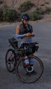
Simone Bailey

Simone Bailey


We made it to Needles, CA the next afternoon where we met up with Simone Bailey at the Motel 6. Lauren bunked up with Simone, while I slept in the back of the UHaul. But, not before brilliantly locking the keys inside the cab. Argh. Un-needed stress!!!
Simone had bought a bunch of silly, small plastic license plates, expecting everyone to wear one for the ride. I rolled my eyes and half heartedly picked “Momma’s Boy”. Over the course of the race, I embraced my namesake, especially once I remembered that Mothers Day was happening soon. Not just soon, but during the event. Well, my event anyways…
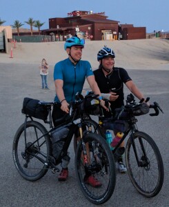


Chris Schmidt and Jay Petervary

Chris Schmidt and Jay Petervary

The next day (day before the race), I got a locksmith to unlock the van. Met up with Jay Petervary and his racing duo Chris Schmidt. I got some extra bits from Jay that my son got to him. The most important being a smaller chainring for the insane amount of climbing on the route. Well, changing out the chainring led to a broken chainring bolt, and a 45 minute drive to Ace Hardware for a bandage bolt, that would hopefully get me through the race (it did).

I split a room with Dexter Kopus that evening right next door to the ladies room. We partied by eating a bunch of crap, together. I’m the only one who had a couple of beers. 😁 I had never met my new roomy before, and I could tell that the kid had some energy, and was excited to ride. Little did I know then just how much ASS he was about to kick…
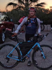
 

Dexter Kopus

Dexter Kopus

My alarm went off at 4:02am. “Could You Be Loved” was the song the alarm used. Dexter hummed the opening bars for the next 30 minutes! Then, we all stuffed into the UHaul, Dexter in back with the bikes, and we drove it to the drop off in Topock, AZ. 5 miles away from the start.
We all rode together, in awe of Lauren’s new lighting, to the start. Rolling in, I gave everybody a nice heartwarming “F YEAH” at 5:30am. 😂
 
6am start, I knew it was going to be a race to cooler weather. The start elevation was 450’. Arizona Desert. HOTHOT! I led the field out onto the I40, where we spent the first 13 miles climbing up towards the first nasty dirt/sand section. The mining town of Bagdad was 100 miles from the start. I was hoping to get there, restock on food and water, and continue on for as long as possible into the night. Unfortunately, it took me everything, and I mean EVERYTHING, just to arrive in Bagdad. Battling dehydration, extreme cramping, and heat stroke, I crawled into town just 20 minutes before the supermarket was closing. I bought a few things, which I commenced to throw up immediately, and decided I wasn’t moving another inch. I spent the night in the picnic area of the market/post office. About an hour later, the Hansen’s (Jenny and Jason ) arrived and also slept in the picnic area.


I could barely eat or drink anything that night, and I was very nervous about the next 100 mile day. I thought for sure it would be a day full of cramping, figuring out how I could quit. I left several hours after the Hansen’s. A huge climb up out of Bagdad, and amazingly, I wasn’t cramping. Not feeling like king of the world, but I wasn’t as bad as I thought I would be.
I stopped in the shade several times throughout the day. But, the heat, and limited water, made for a very hard century to the next town, Seligman. Luckily, Minnie, who was acting as neutral trail magic, filled all my bottles with ice, and I grabbed a coke and banana from her. I puked that up too. 🤮, but I still felt fine.


Kayla Hall

Kayla Hall

As the evening temps dropped, I put the hammer down, and caught up to the Hansen’s as I arrived at the KOA where I was able to shower, do laundry, and eat.
The next day, I made it short and only rode 64 miles to Williams, where I decided to get a hotel room. That was nice! Day 4 had me riding 35 miles into Flagstaff. Kayla Hall caught up with me, and we rode together for a while, and then we all regrouped with the Hansen’s at the Circle K for a nice lunch and resupply. Then we kinda all rode together, but not really, until Kayla decided to stop early. A bit too early, imho, and it ended up biting her. The Hansen’s and I rode well into the dark, putting 40-50 miles on Kayla. Not a big deal, except that the next day, the resupply was far away, and the store closed at 5:00. The Hansen’s and I all made it to the store on time. Barely. Kayla didn’t. Kayla dropped out.


Getting to the store on time was HARD!!! Loose gravel. Friday afternoon campers coming in. Hot. Dry. Etc. After our resupply, the Hansen’s and I had some interesting exchange of ideas on when and where we should stop. I capitalized on our mutual indecision and put the hammer down. I rode well into the dark, thinking I could possibly make it to Show Low, and I probably could’ve, but decided to stop for the night 17 miles out. I think I put 30-40 miles on them that night.
In the morning, I rolled into Show Low, ate a TON of food, restocked my bike, and left before seeing the Hansen’s, thinking (hoping) I may never see them again.
After Show Low, the winds really started to pick up, and our route had us climbing up to +/- 9500’ and staying up there for a while. I made it up and over the first high alpine bit in the nuking winds, and decided that getting a hotel room 3 miles off route would be way better than attempting to sleep outside in the crazy wind.


After a very gentlemanly evening with food, drink, and a bed, I got going around 5:30am. Unfortunately, I checked me headset, which had developed a funny squeak over the past few days, and found it to be oddly loose. So, I tightened it, but things weren’t feeling right. I put it on the ignore, since all I had to do for the next few hours was to climb over 3500’!!! Which I did, but then I couldn’t get the feeling out of me, that there was more going on with my bike than a loose headset. As I delved further into the investigation, I discovered that the steerer tube was separating from my fork. I couldn’t ignore it any longer. With a HUGE and incredibly steep descent laying ahead, I couldn’t feel safe. So, with only 50 miles to go from the finish, I made the very hard decision to abandon the race and work to get a ride to my truck.


With a Garmin message sent to my special friend @Anna, halfway around the world and a day ahead, she arranged to have me picked up by a David via talking to Craig and Minnie (the organizers). Although I was incredibly bummed to drop out, I feel like I took on and overcame more or less all of the challenges that come on a course as hard as this one. I’m happy with my effort, but I’ve obviously left the door open to come back next year and do it again.


F YEAH!!!


My rescue brought me to David’s awesome ranch, for beer, food, shower, etc, where Chris Schmidt had been hanging since his awesome finish. There, the Hansen’s daughter, Shelby, picked me up and drove me to the finish, where we got to watch Jenny and Jason Hansen finish as the first mixed Duo. I spent the night alone at the finish line contemplating my interesting and HARD week.
@rideacrossarizona…
I’ll be back!!!
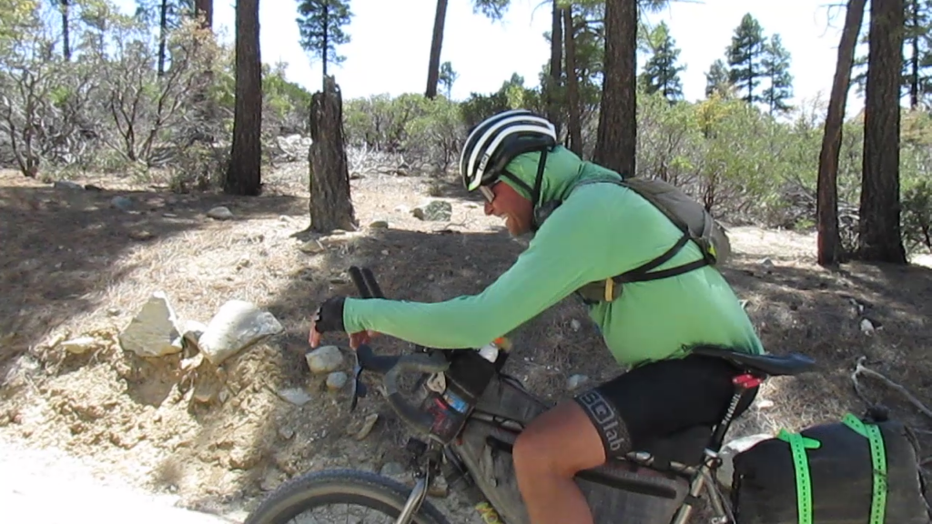
Brian

Click the photo for video of Brian after the climb out of Bagdad.
Posted in Uncategorized

Yavapai Backcountry Loop


IMG_20170402_103828The 330 mile Yavapai Backcountry Loop was developed and mapped by the folks from AZ Gravel Rides. The route is made up of non-technical dirt, gravel and forest service roads with only 17% of the route being pavement. The course is designed to allow high clearance vehicles to follow for support. Plan on a two to four day adventure, best ride time is March through November. Most of the course (nearly 300 miles) lies within Yavapai County of central Arizona. Yavapai County was one of the four original Arizona counties created by the 1st Arizona Territorial Legislature in 1864. The county is named after the Yavapai people who first settled in the area around 1100 AD. The route passes through three mountain ranges;  the Bradshaw Mountains, the Santa Maria Mountains and the Black Hills (includes Mingus Mountain). Sections of the course utilize several historical trails and routes including the Overland Road (oldest continuously used road in the United States), Beale Wagon Road, National Old Trails Road, Route 66 and the Senator Highway. Sections of the route are also used by several cycling events including the Chino Grinder, Whiskey Off Road and Bradshaw Grinder. The northern section follows along the 615 mile Ride Across Arizona off road bicycle route.

IMG_20170311_113628The suggested starting point of Prescott Arizona is a hub for mountain biking and gravel riding. From Prescott you’ll start out on Copper Basin Road to Skull Valley (Mile 17). There is a store in Skull Valley but it’s kind of hit or miss on being open. After Skull Valley it’s on to Seligman (Mile 100). This section contains mostly high plains mixed in is a 20 mile ride through the pine forests of the Santa Maria Mountains. The town of of Seligman is on I-40 so there are plenty of places to restock and numerous hotels plus a KOA. After Seligman the next place to stock up is Ash Fork (Mile 150). From mile 72 to mile 142 you are following the same route used by the Ride Across Arizona where you’ll travel on sections of the National Old Trails Road, Route 66 and the Beale Wagon Trail Road. Make sure to stock up in Ash Fork! From there you’ll ride 60 hard miles to Jerome. The climb from the Verde River to Jerome is brutal! If you have a filter take advantage of the Verde before you start on the climb. Jerome has a number of places to eat and a convenient store. If you’re looking for a motel Clarkdale is a fast 4 miles away (not so fast getting back to Jerome, it’s all uphill). After Jerome it’s up and over Mingus Mountain of the Black Hills with the next supply stop being Spring Valley (Mile 264). The last section is the most difficult. From Spring Valley you’ll head up to the Bradshaw Mountains and the remote outpost of Crown King but not before you drop briefly into the desert near Cleator. From Cleator to Crown King (Mile 289) it’s a tortuous long climb up the old railroad grade into the historic Town of Crown King (a general store and two bars) at the southern end of the Bradshaw Mountains. After leaving Crown King you’ll be on the Senator Highway and pass by the ghost towns of Bradshaw City and Goodwin on the way to the old stage stop of Palace Station. Forty miles after leaving Crown King you’ll be back where you started.

IMG_20170915_104639The route can be done on a gravel or mountain bike. The gravel bike would be best outfitted with a 40mm tire or wider. Several short sections of the Senator Highway are hike-a-bike but maybe not on a mountain bike. Keep in mind that this is Arizona. Road conditions can change quickly, I’ve seen the Senator where a passenger car could drive it and a week later a 4WD would have issues. Be prepared and know the route. there are plenty of places to jump off the route if the going gets to tough. Research the course before you start.

Posted in Uncategorized