Arizona Divide Off-Road Trail
Reason: To encourage and inspire others (especially the elderly) to get out and enjoy the outdoors and realize the many benefits of exercise, especially in combatting dementia, heart disease and age related cognitive decline. Also to better understand exactly which modern conveniences provide the most comfort and support on a solo bikepacking trip.
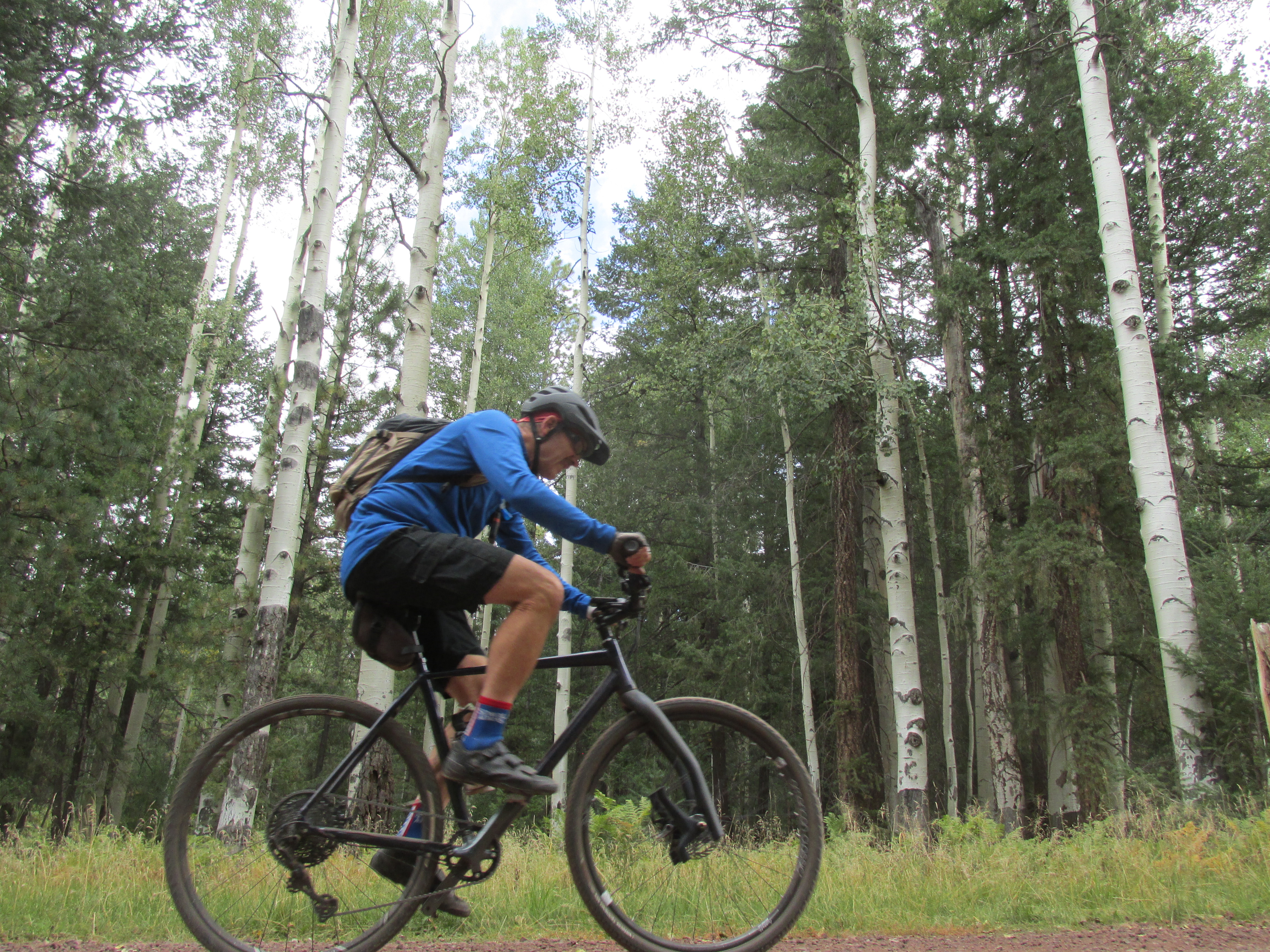
epic as motivation to stay fit and to force me to think outside the box. For my next adventure I’m planning on a solo unsupported bikepacking trip riding the entire 270 mile Arizona Divide Off-road Trail. This will be my first attempt at bikepacking. To challenge myself further I plan on doing it with minimal resources including no electronics (no phone, gps or tracking device) along with the commonly accepted rules of non supported bikepacking (no visitation, no outside support, no film crews, etc) and doing it at minimal cost. Plus I won’t be purchasing anything from stores or paying for lodging while trying to be as self reliant as possible (no need for credit cards or cash). The only electronic device will be my Drift Ghost Action Camera (has no internet access or communication options) to document the ride, with the two batteries it has 15 hours of recording time. Planning on a May/June timeframe and hoping to finish in less than three days. Due to cataracts I can no longer see at night so I will only ride sunup to sundown. This will enable me to keep my normal sleep schedule of seven hours each night.
The Route:
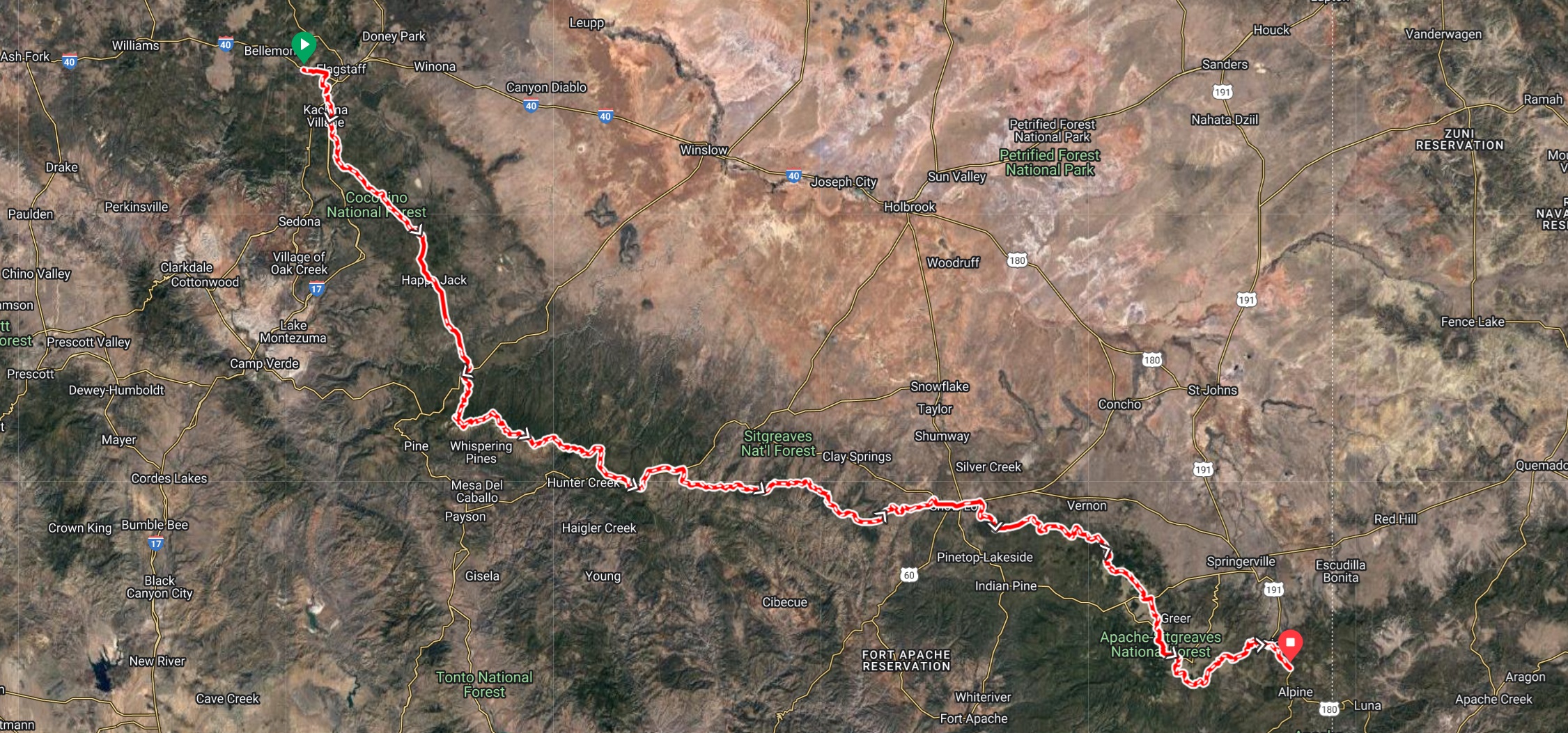
The Arizona Divide Off-Road Trail (developed by AZ Gravel Rides) stretches 270 miles starting from the Soggy Bottom Ranch Road,
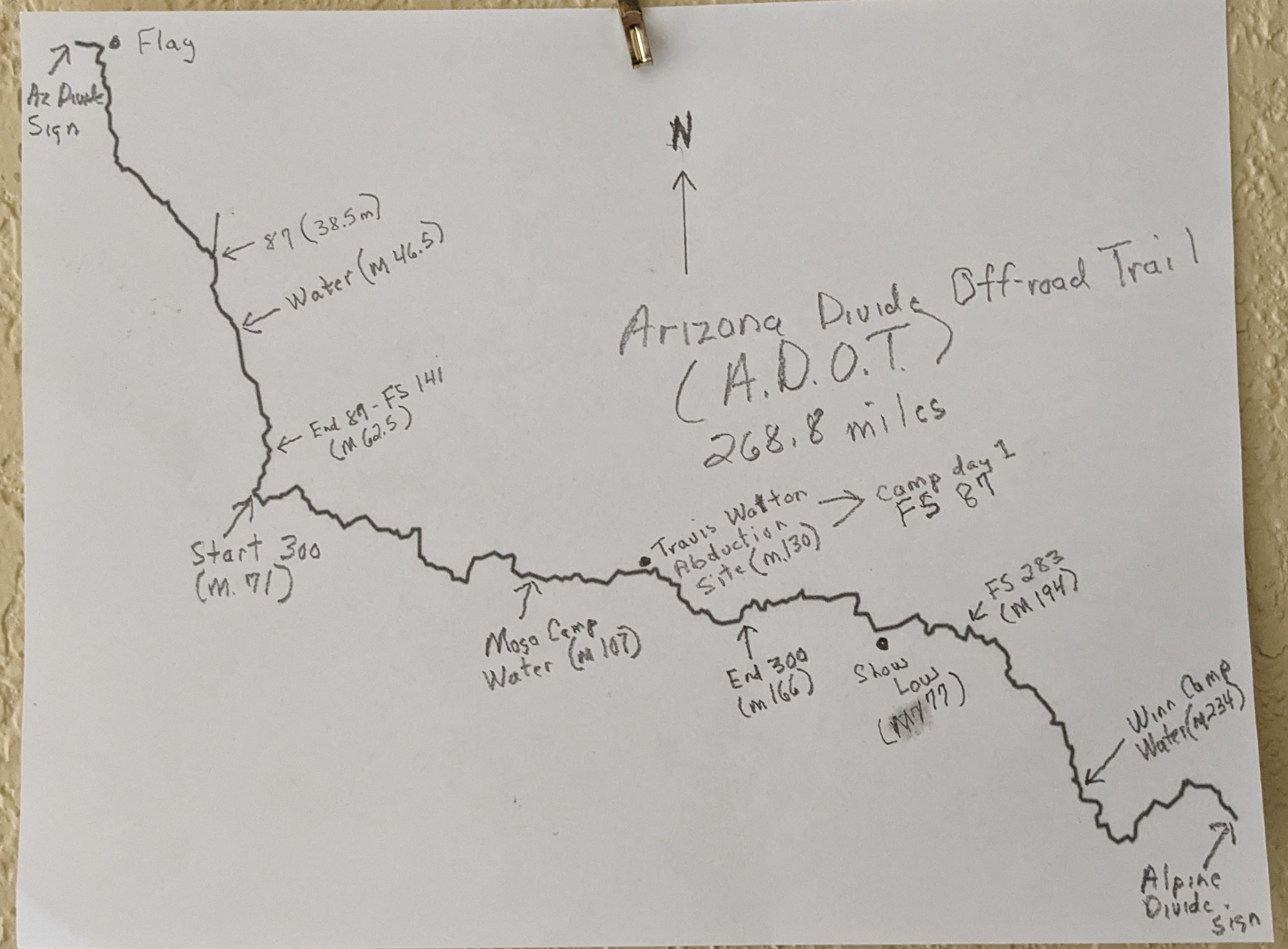
directly adjacent to the ADOT Arizona Divide sign at mile marker 190 on I-40 (west of Flagstaff), to the ADOT Alpine Divide sign at mile 422 on U.S. Highway 191. The route is over 77% dirt and has nearly 30K of elevation gain. GPX for the route can be found at https://azgravelrides.com/:arizona-divide-offroad-trail/
Support our sponsors!
McDowell Mountain Cycles
Redshift Sports
State Bicycle Company