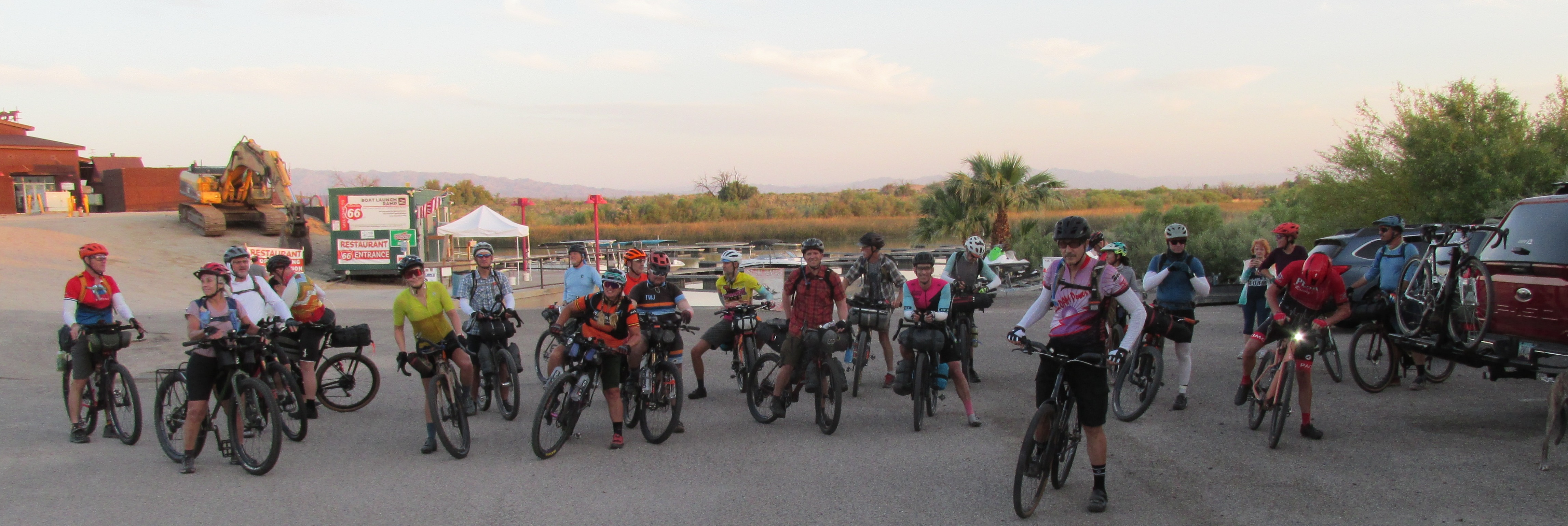
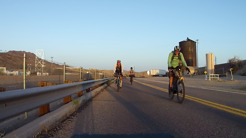
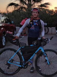
On May 1st twenty-two cyclists gathered at the Topock Route 66 Bar on the Colorado River along the California/Arizona border for the third running of the ultra endurance Ride Across Arizona cycling event. The 600+ mile mostly dirt road route extends across Arizona from the Cali border at Topock to New Mexico near Blue, Arizona. The event attracts a mix of professional athletes and recreational athletes that share a common interest in extreme adventures. There are no entry fees, registrations or awards; only the sense of accomplishment of knowing that you completed one of the most challenging off-road routes to be found anywhere.
The National Old Trails Road (established 1921) looked like it hadn’t been maintained since 1921!
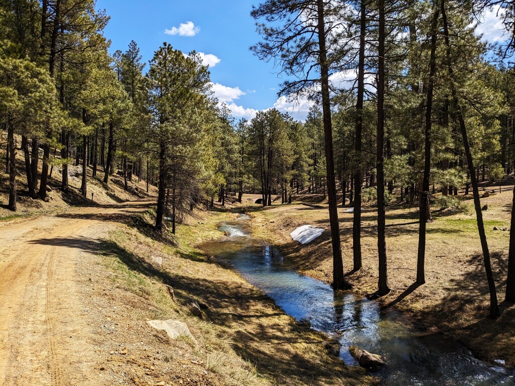
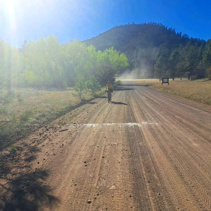
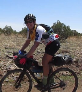
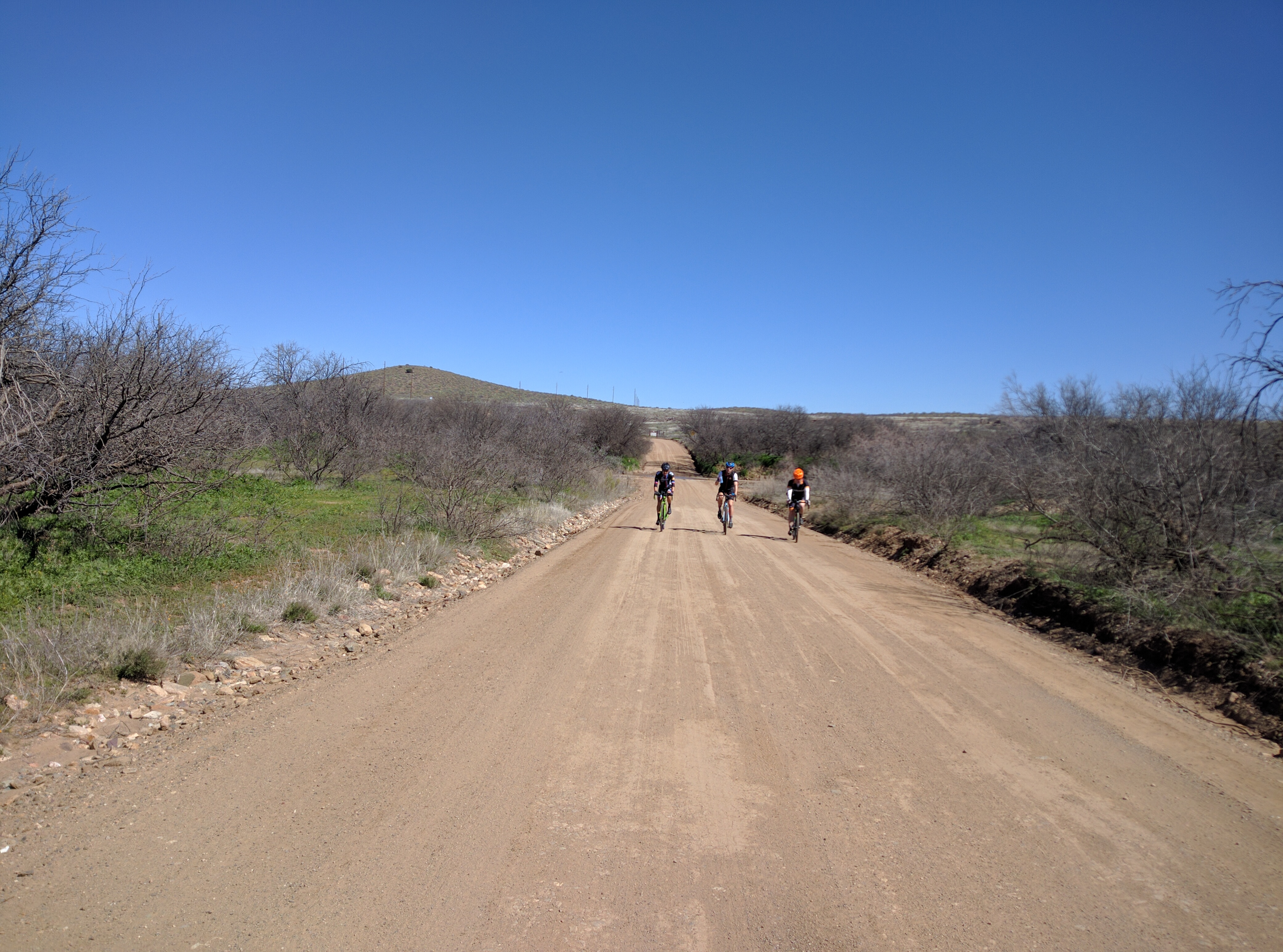
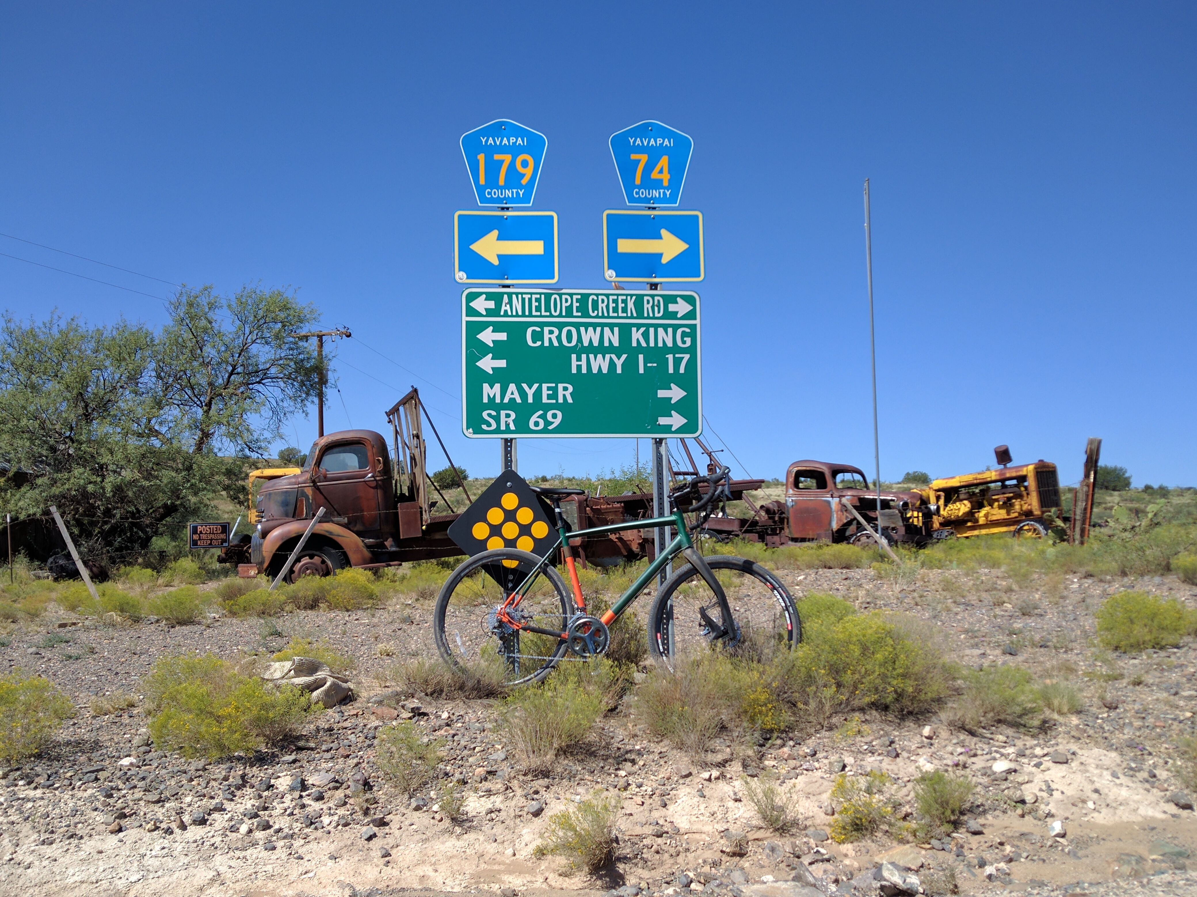
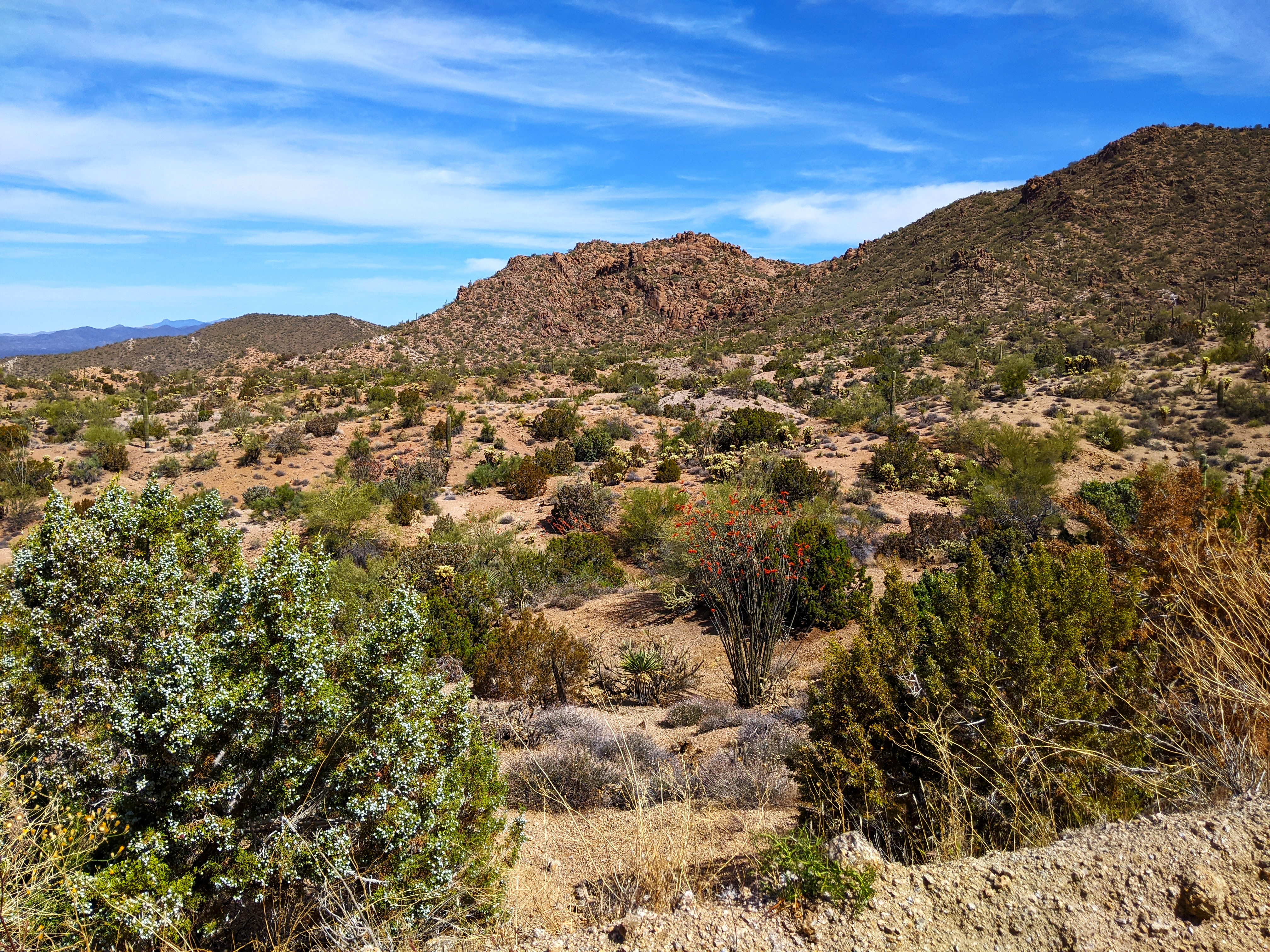
The route snakes west to east along a cross-section of Arizona defined by spectacular scenery, a variety of landscapes, historic towns and remote wilderness. Riders cycle along the Colorado Plateau, the Mogollon Rim, San Francisco Peaks, White Mountains and Blue Primitive Area, not to mention riding remote sections of the National Old Road Trail and Route 66. There are numerous campgrounds along the way and hotels can be found along the route at Seligman, Williams, Heber, Flagstaff and Show Low. The finish is near the beautiful Town of Alpine.
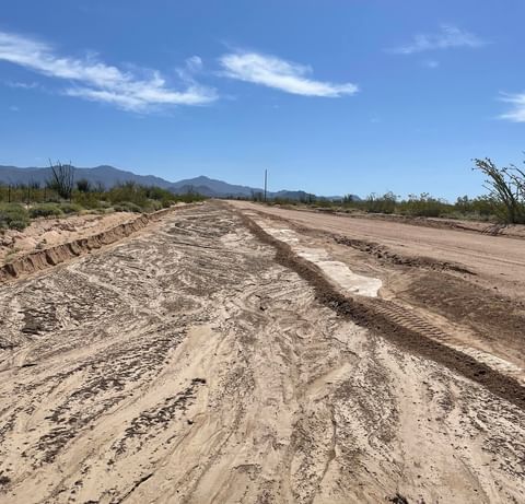
This is what the locals called hardpack. The graded road next to it was soft sand. This stuff was as hard as concrete. No brainer, ride the hardpack.
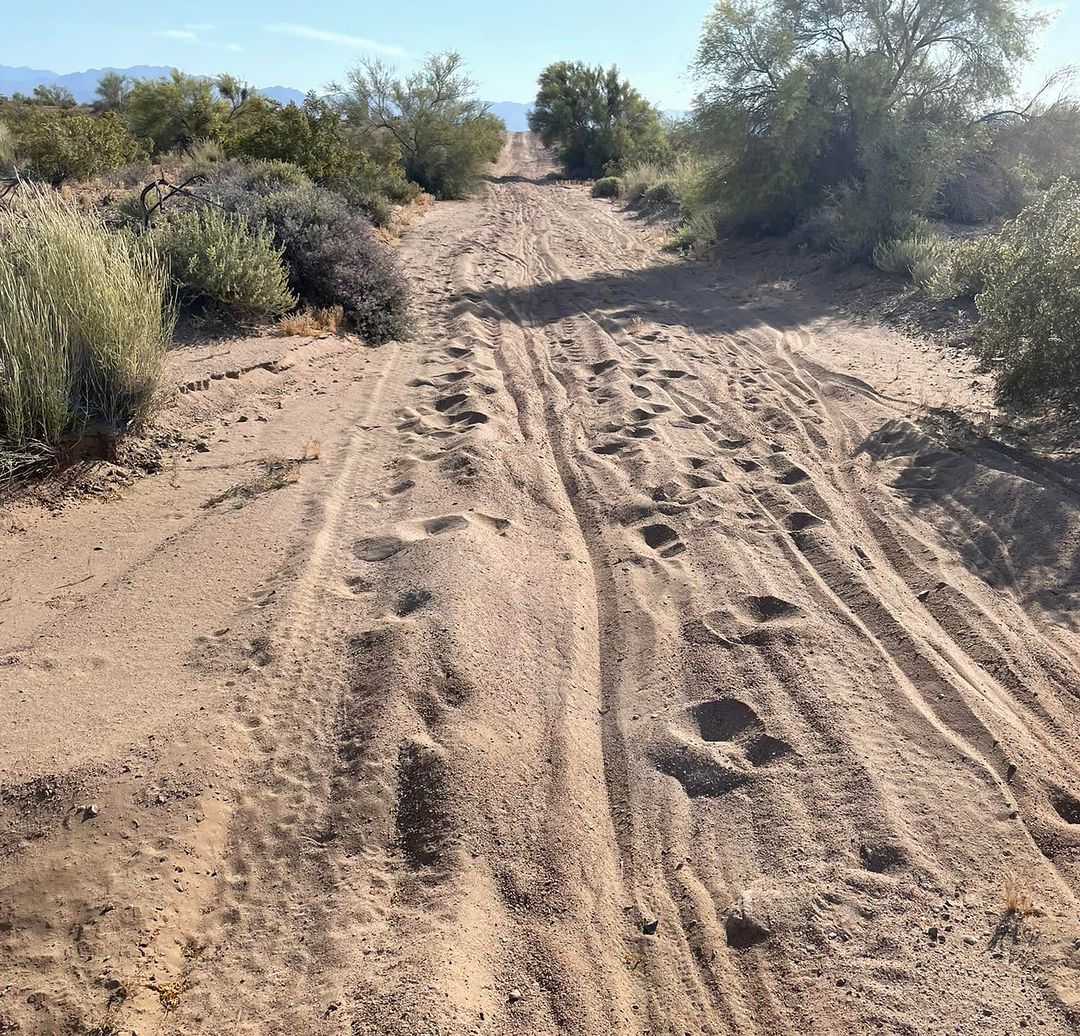
At the start cyclists knew that they would confront trouble even on the first day. Forecasts called for temperatures in the already hot Mojave and Sonoran Deserts to be 10 degrees above normal along with forecasts of headwinds gusting up to 40 mph! Further into the course, along the Mogollon Rim and White Mountains, abnormally low temperatures were forecast along with high winds. There was also the threat of lingering snow left over from Arizona’s most severe winter in over 50 years. What the riders didn’t know at the start is the horrific road conditions they would encounter on that very first day. The previous summer’s monsoon had been one of the worst on record along with a record winter rainfall which produced catastrophic flooding and the end result was stretch after stretch of sandy wash crossings, a cyclist’s worst nightmare! Except for bikes using wider mtb tires, each crossing required the rider to dismount and push their bike through the fine sand in the heat of the middle of the day making everyone question the wisdom of choosing a gravel bike. A rider named Will commented, “This sand is making it impossible to establish any type of rhythm, the constant dismounting takes away any momentum I build up”.
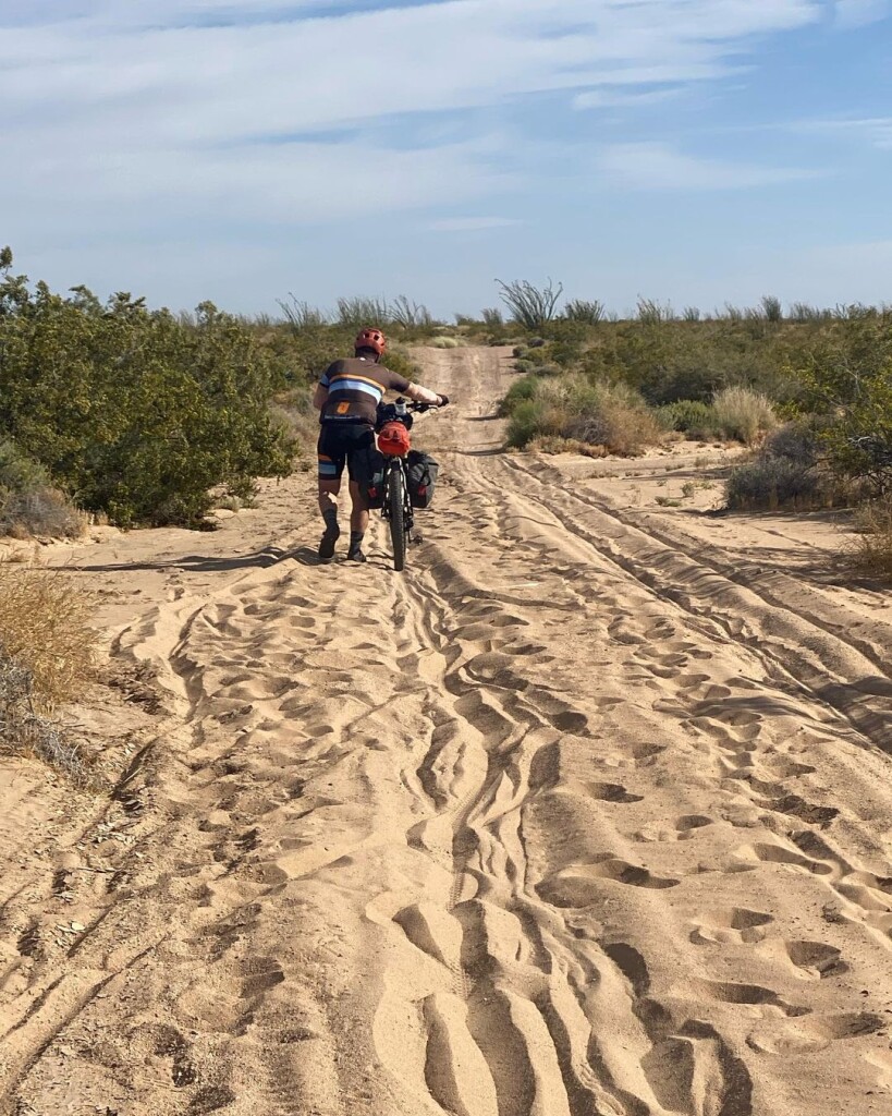
Jason Hanson pushing a loaded bike in 100 degree heat.
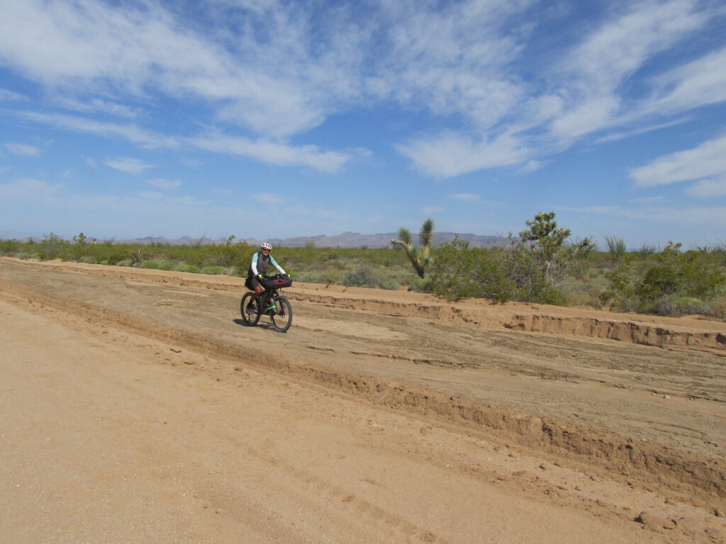
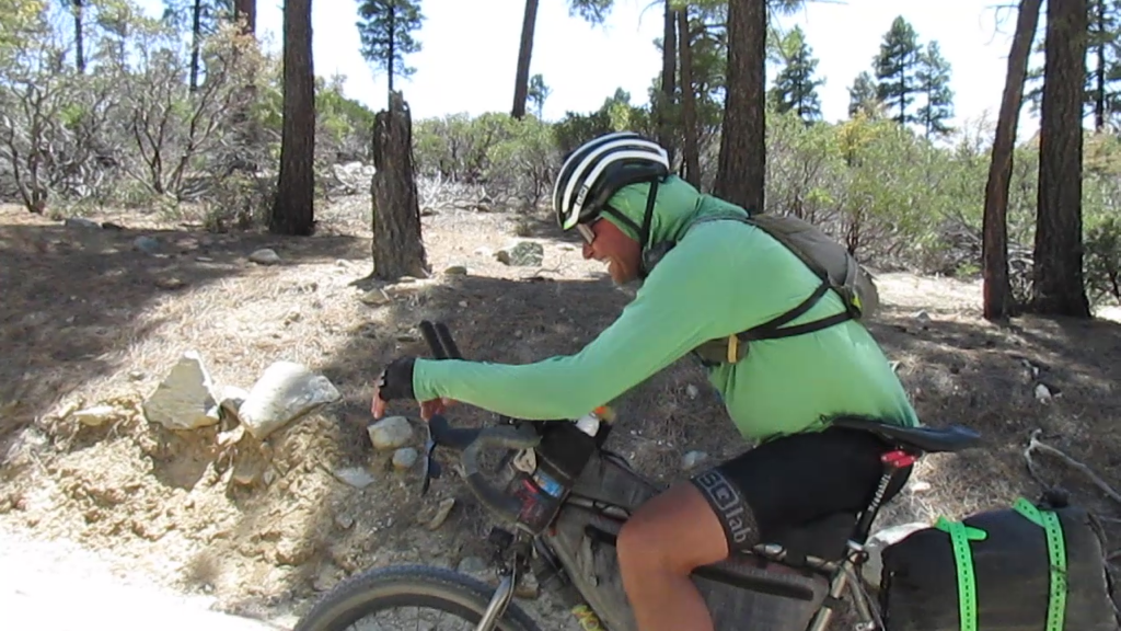
The conditions farther along the course were no better. After the first hundred miles riders remain above 5000 feet of elevation (highest point is nearly 10,000 feet) for the remaining 500 miles of the ride. The 100 mile ride from Bagdad, AZ to Seligman may have been the only favorable section of the course with a strong tailwind out of the southwest pushing riders to the north. After Seligman the sufferfest started again with a vengeance, crosswinds and headwinds gusting up to 50mph buffeted the riders for the entire remaining distance to the finish. Temperatures at night plummeted into the low 20’s and the lingering melting snow generated wet trails, although not the dreaded “death mud” it still presented an annoyance as shoes became soaked from the splashing of the tires along the wet sections.
Finding water was not an issue this year.
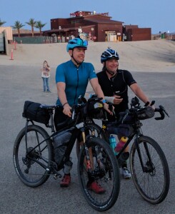
Bryan Reid of Santa Fe was the fastest to finish the course this year and Ashley Wedelich of Colorado was the first woman and second finisher overall and a 65 year old, Paul Kuzdas, finished third, but at the rugged Ride Across Arizona event anyone that finishes has won.
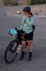
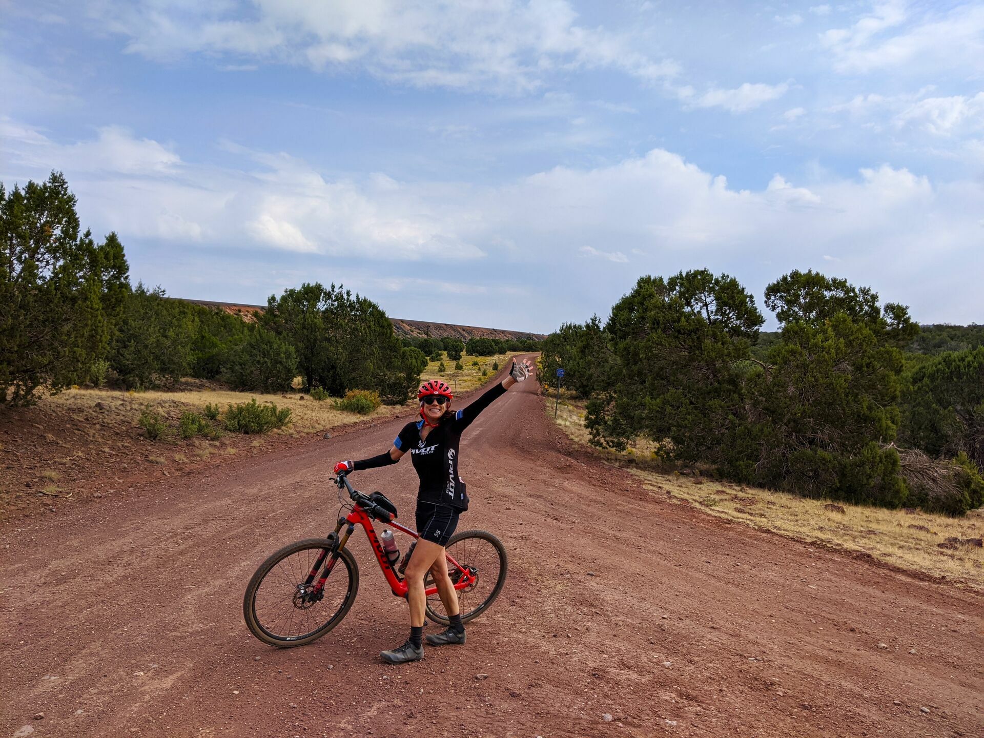
Finishing is so sweet!
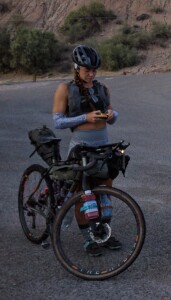
Never quit and push through the pain.
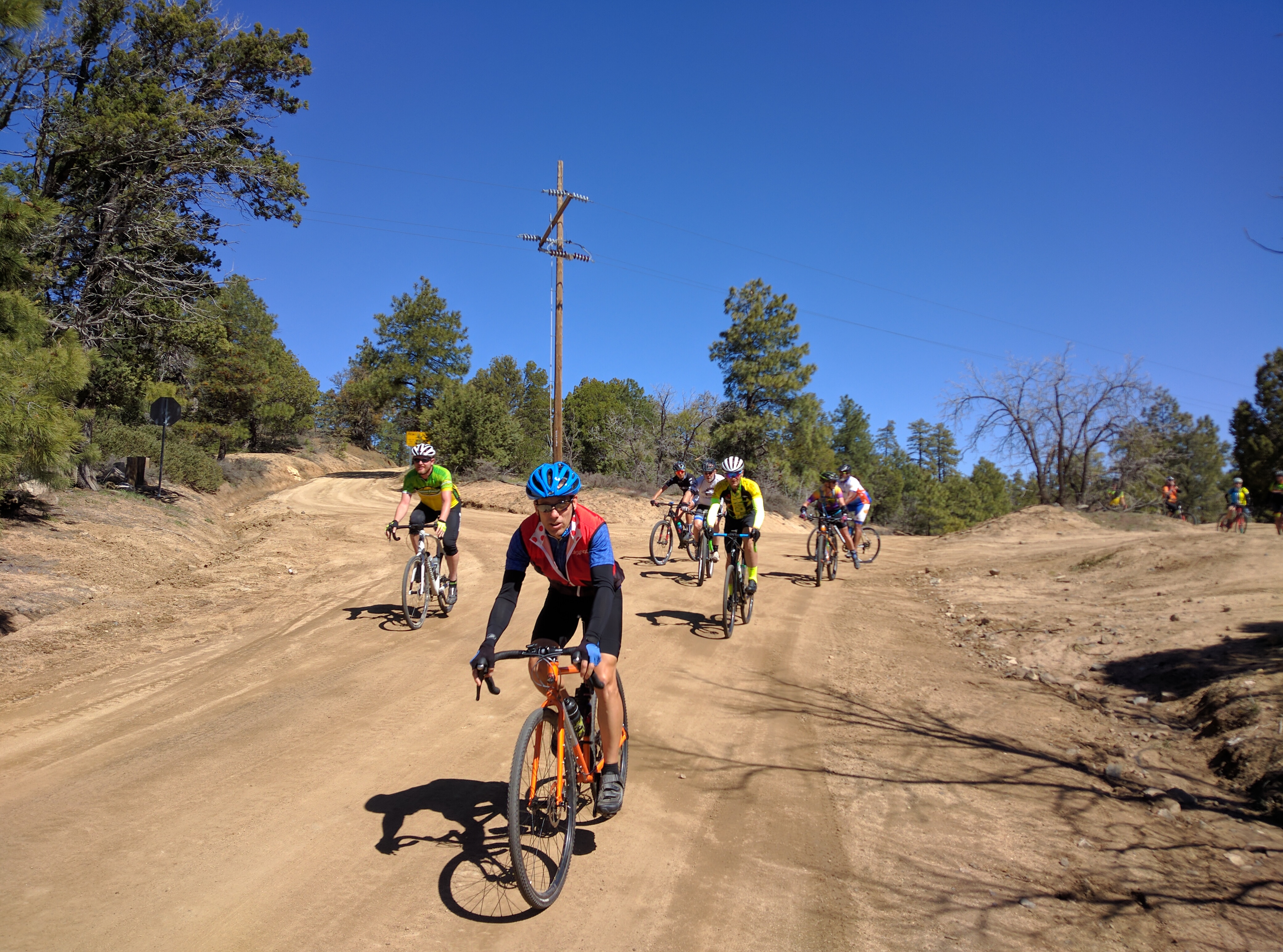
Rider stats: There were 40 people listed as attending and a waiting list of 20. By the time the event happened half of the original 40 had dropped out and been replaced with riders from the waiting list. Eight of those riders dropped before the event leaving just 32 riders. Of that group only 22 actually showed for the start and it looks like only six will finish. Apparently for intra state rides RAAZ ranks as one of the toughest.
Recent Comments